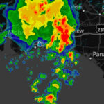
 On my first night in Milton I was welcomed by a pretty violent thunderstorm. At 1:30 in the morning the lightening was so close that the thunder was actually shaking the house. Ned said that they got over 2 inches of rain that night. As it turns out, this was just mother nature clearing her throat, the real storm was yet to come – more on that later. We got up that morning ready for the Red Snapper Slaughter but the conditions were iffy at best. We decided that we weren’t going to give up that easy and went out to see the conditions first hand. Our “look around the corner” should have been enough of a deterrent, but we were determined and decided to venture out and see what the ride was really like. The distance from the corner to the fishing hole is 15 miles – after three miles of getting beat up pretty bad, we agreed that discretion was indeed the better part of valor, and headed for home. It was a good thing too, as conditions only got worse that day. This is Ned searching for some bait to net, we never did find exactly what we were looking for but he threw the net out a few times just for practice…
The next morning we were toying with the idea of going out, but conditions were far from ideal so we opted for a visit to the National Naval Aviation Museum at Pensacola NAS. Ned made blueberry & banana oatmeal pancakes that were so good that they don’t even need syrup – Yum, and we were off to the museum. Just a couple days ago one of the Blue Angles crashed and died. That hits close to home here, because Pensacola NAS is the home of the Blue Angles. There was a makeshift memorial at the entry gate to the base, flowers piled high, a cross or two, and at least 50 American flags, it was really nice. This community has a big connection with the Blue Angles.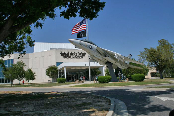 The first things to fly out of the Pensacola NAS were these flying boats.
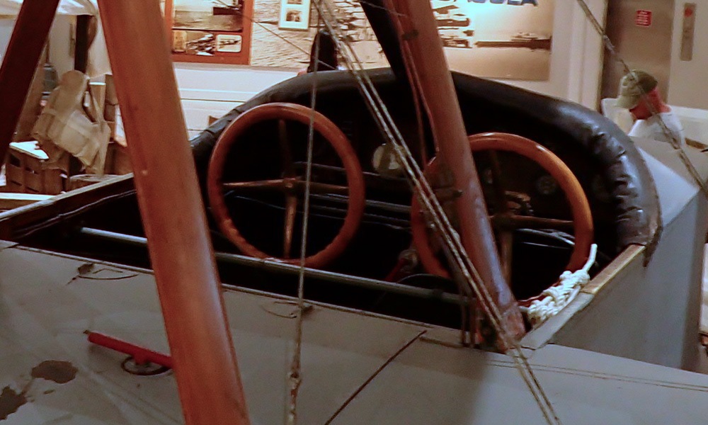 Who doesn’t like a radial engine? They are the coolest looking and the best sounding engines I’ve ever heard. This one on the F4B/ P-12 really caught my eye.

Of course they have one of these F-4U Corsair aircraft. In my opinion the most bad ass airplane of that era. It had a 2,000 horse power 18 cylinder Pratt & Whitney Double Wasp radial engine – the most powerful engine available at the time. If you were an enemy pilot you didn’t want to see one of these bad boys in your rear view mirror!!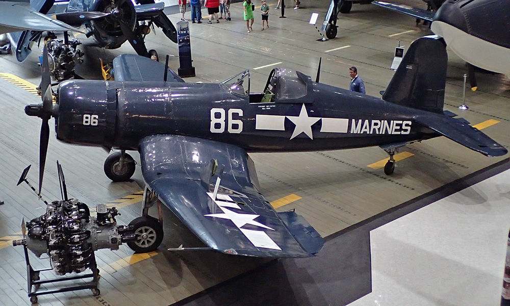 I also really like the looks of this T-6 Texan. My father was lucky enough to get a half hour ride in one – he talks about it to this day. Who wouldn’t – – –
Lastly, they have a few aircraft and engines here that have been cut away so you can see the works beneath. Interesting to see all the wires in the wings and fuselage some used for tension and stability, others used to control the wing surfaces for flight.
I’ve just shared a few of my favorite aircraft with you but they have LOTS of airplanes here. They also have several large and extremely detailed models of air craft carriers. The space program is represented as well. I had no idea how small the command modules (the thing that fell back to earth with the astronauts inside) were back when they first got started. People must have been smaller back then. Ha ha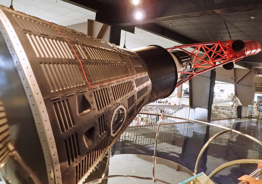 Well worth the trip and next time I’m in the Pensacola area, I’ll be back. Especially since it’s free; they would like a donation but it’s not required. I figured we donated enough with the money we spent inside. We went to see a Blue Angles movie filmed in I-MaX – not free but very cool. We also had a good and very reasonably priced lunch and a couple beers in the Cubi Bar Cafe.
For nearly 40 years, the NAS Cubi Point Officers’ Club, in the Republic of the Phillippines, was a marvelous mix of American efficiency and Filipino hospitality. The club was especially famous for its Plaque Bar, where transiting squadrons retired old plaques and commissioned new ones to commemorate each WestPac tour. The tradition of placing plaques in the O’ Club bar was started during the Vietnam Conflict and endured until the closing of the base in 1992.
When the original officers’ club was closed in 1992, the thousands of plaques that adorned the walls of the club as tokens of thanks were packed up and sent to the Museum to be placed as they were when the Cubi Club was closed. But it’s not just the plaques, they have the bar, bar stools, and tables and chairs from the original Cubi Club.
Much watching of the weather was done starting when we got back home from the museum. A tropical storm was brewing and it was looking like it was going to be worst on the day I planned to ride to Sarasota, and that’s exactly what happened. Those of you that really know me wouldn’t be too surprised that I was still planning on making the trip and just getting wet. THAT would have been a huge mistake. After I decided to stay another day and watched as the storm crossed the state – I was very glad that this was one of the few times I heed the good advise I often get.
What a difference a day makes!! Today was a great day to ride, but with 500+ miles to go I was up on the slab for most of it. The state of Florida gets an A+ for the condition of it’s Interstate 10 and 75. These drivers though – – I don’t know how fast you have to be going to get a ticket but the speed limit is 70 mph and the car in the median is obviously law enforcement and the folks going 85 mph aren’t even slowing down. I need my Camaro back!! I ran into a brief downpour about 70 miles north of Sarasota and was pretty wet from it, but by the time I got there I was mostly dry. I got the bike in the garage two minutes before it started raining. So, I still haven’t put the rain gear on – knock on wood….
Lastly, I would like to thank my friends Ned and Joan for welcoming me into their home and taking such good care of me, and maybe even saving my life. THANK YOU!!


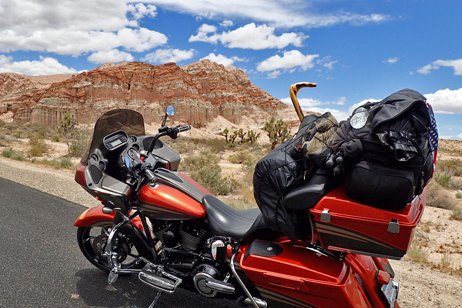
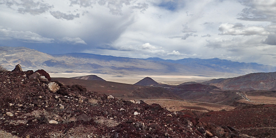
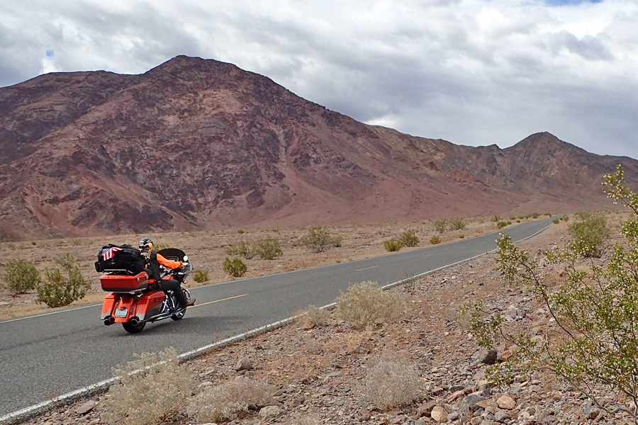
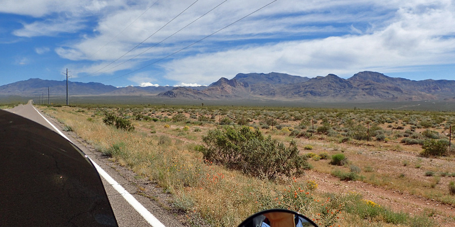
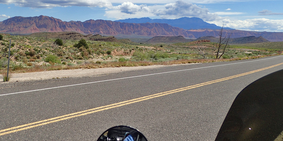
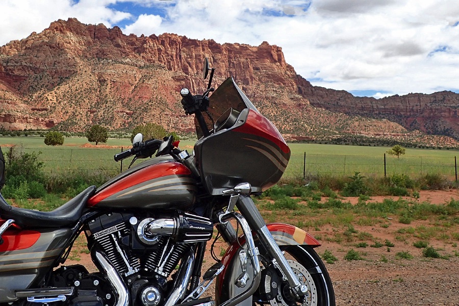


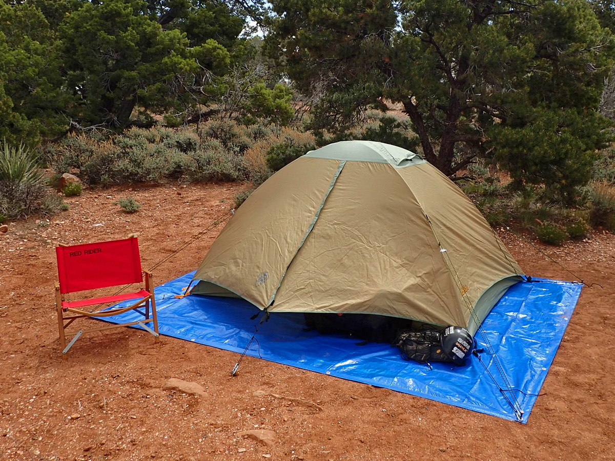
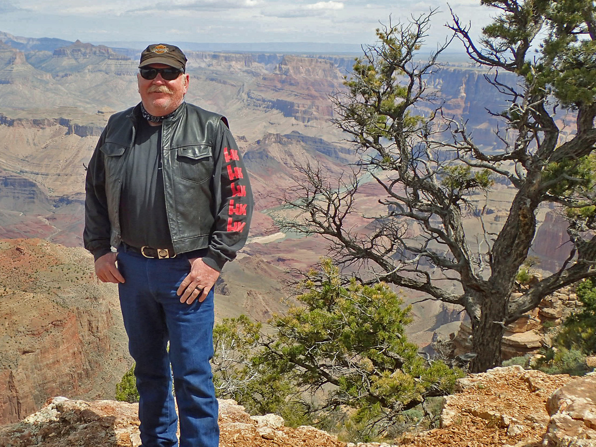


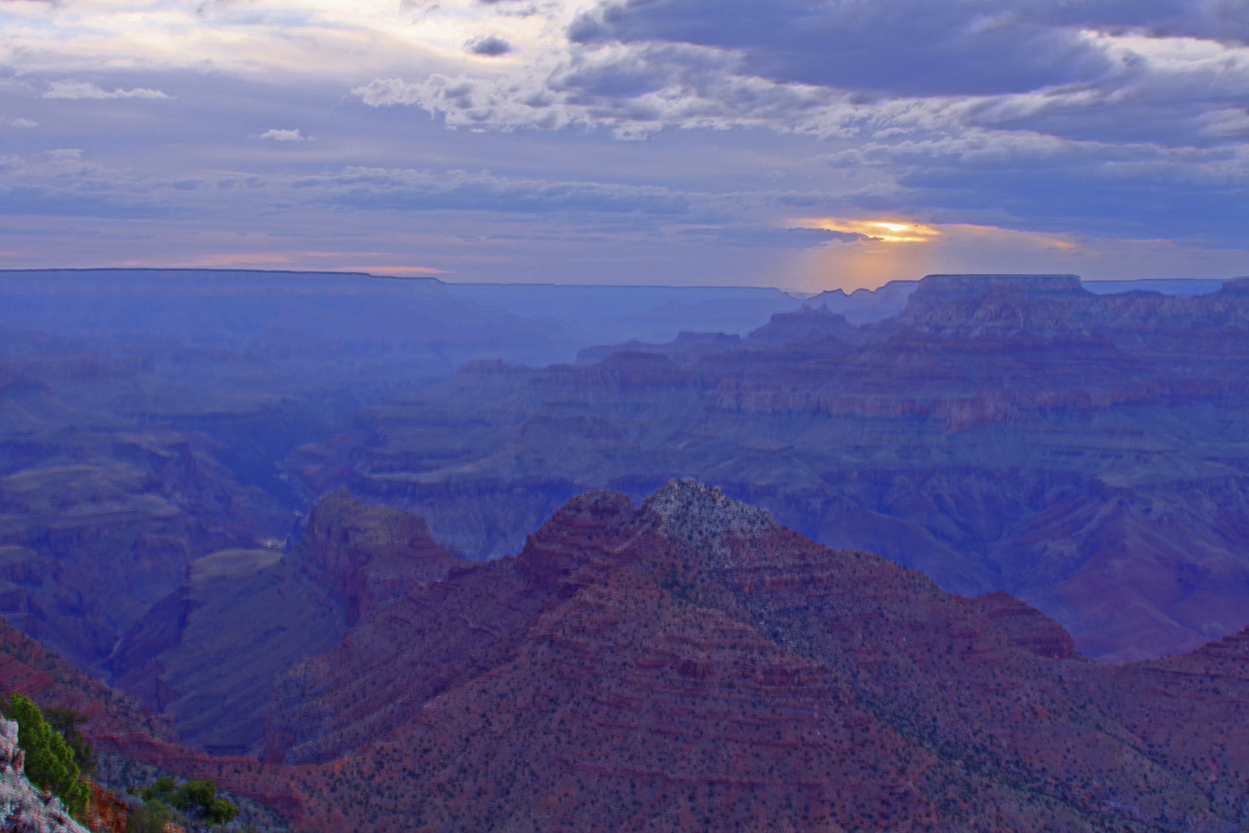
 It’s still very windy and starting to get rather cold. I’m going to hunt my hole and see about gettin’ some much needed shut eye.
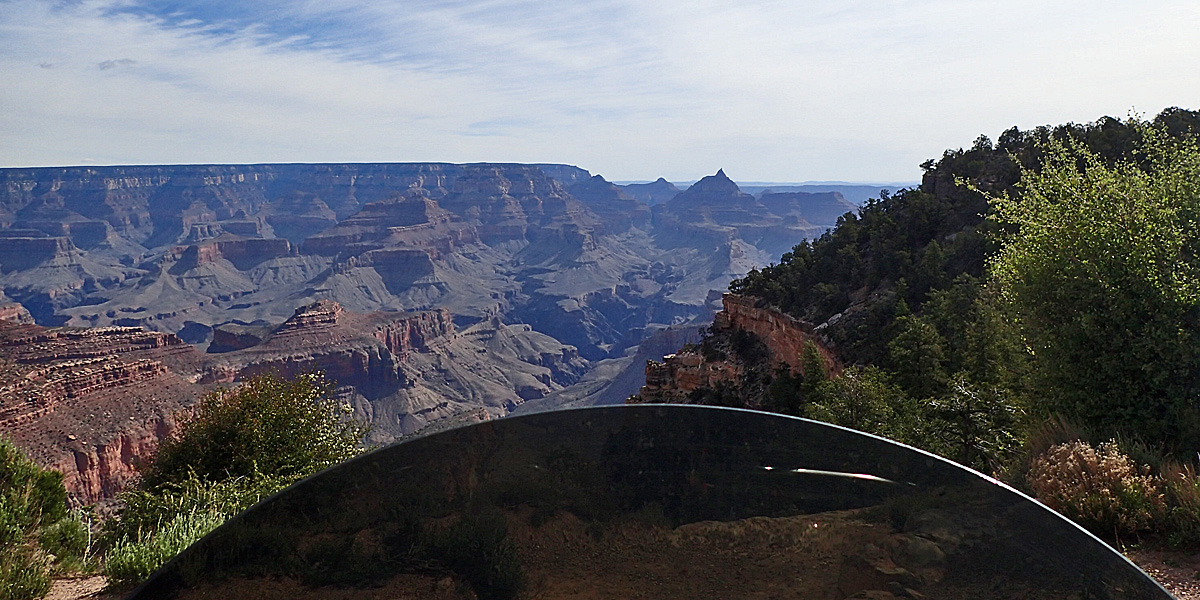
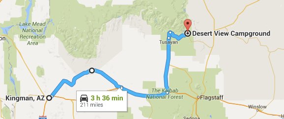
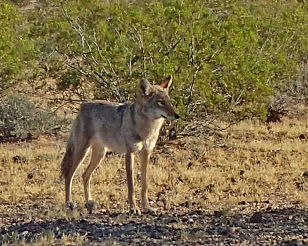
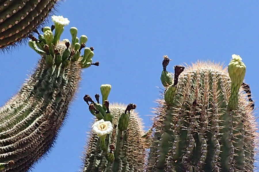
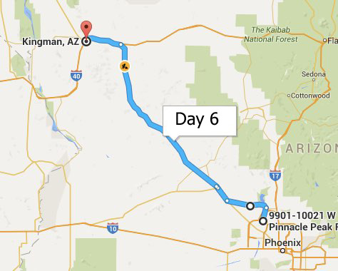
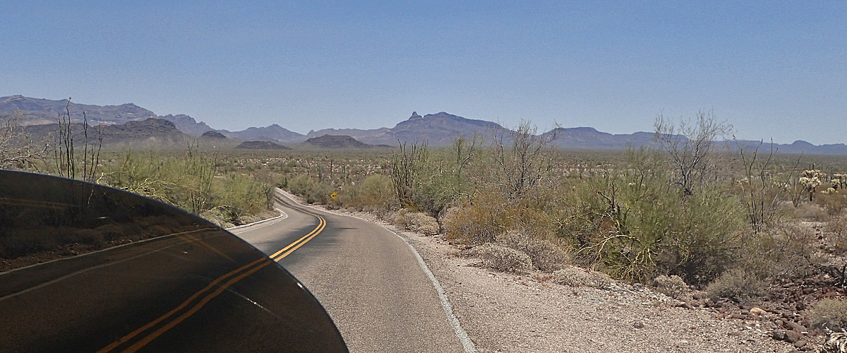
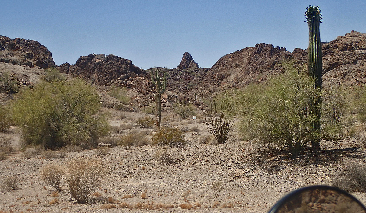
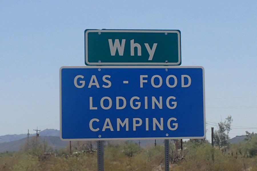
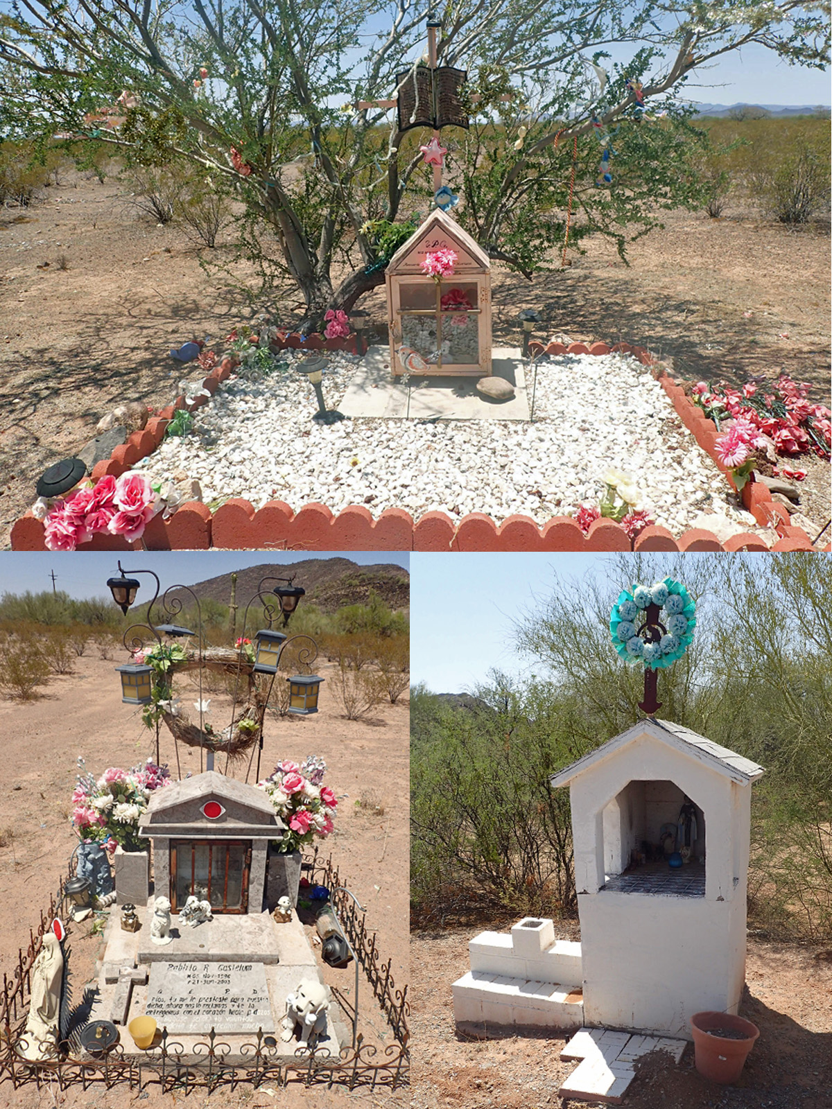
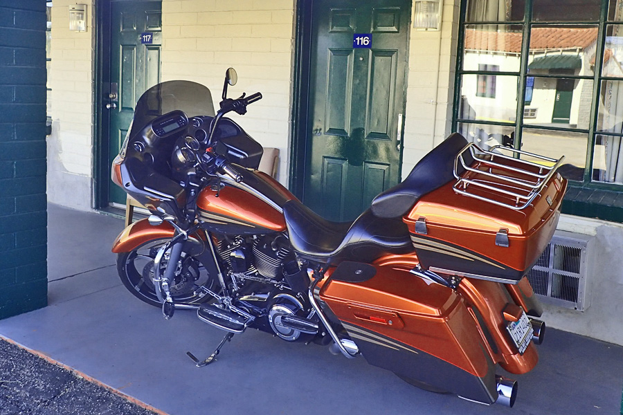

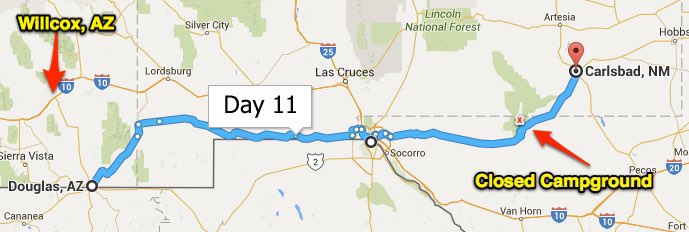
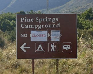 The Guadalupe Mountains are a park and the whole thing is closed due to fire. I’ve always got a plan B but you hate to have to put that into effect when you think you’re done for the day. Oh well, it was going to be a cold night up there in the mountains, now I’m in the climate controlled comfort of the Motel 6 in Carlsbad, NM. I’m here with about 50 members of the
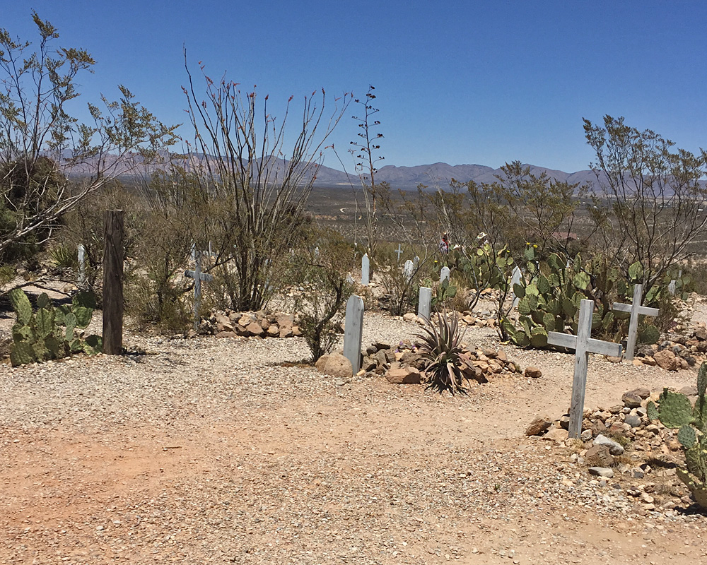
 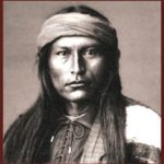 Indians and their last free chief, Cochise. This was one BAD Indian and he fought for his land and people against the Army for 10 years and was never defeated in battle. He died of natural causes on Apache land in the Chiricahua Mountains in 1874 and was secretly buried at a place called
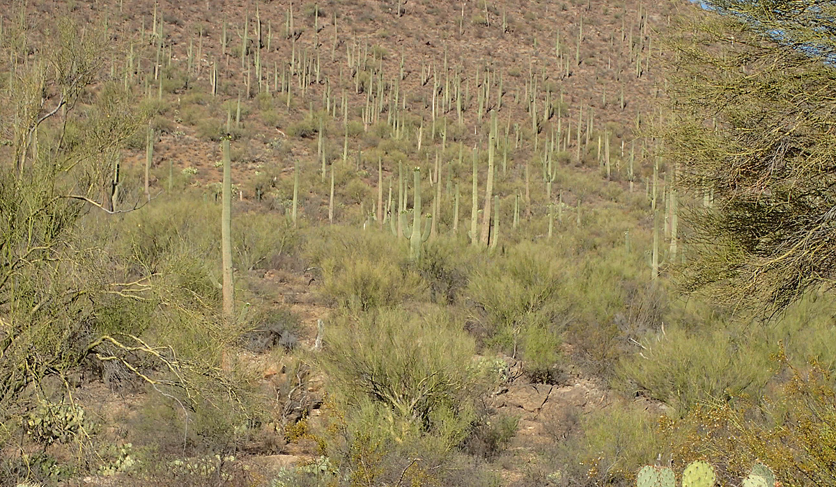
 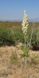 This is Yucca Cactus and mesquite bush territory. There are almost no thorny cactus anywhere around here. I have no idea what changes in the climate cause that, but it’s way better for walking around hunting dove and quail as I did in my youth. California’s Joshua Tree is next of kin to the yucca cactus. This is a yucca with a couple mesquite bushes and the Chiricahua Mountains in the background.
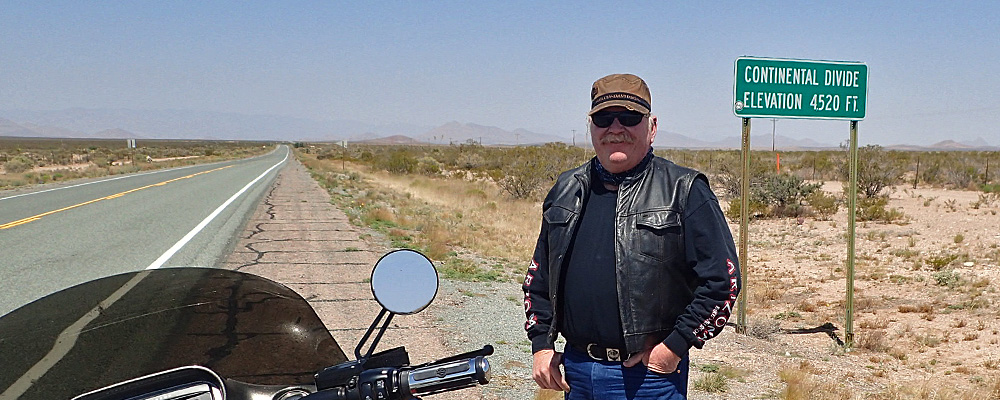
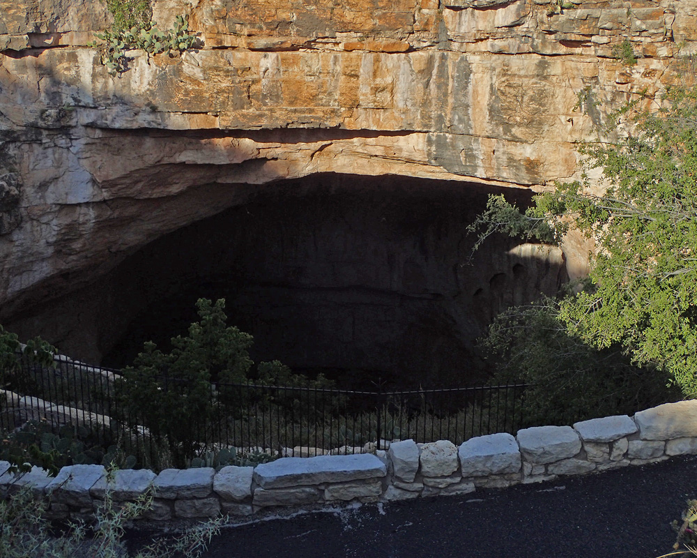
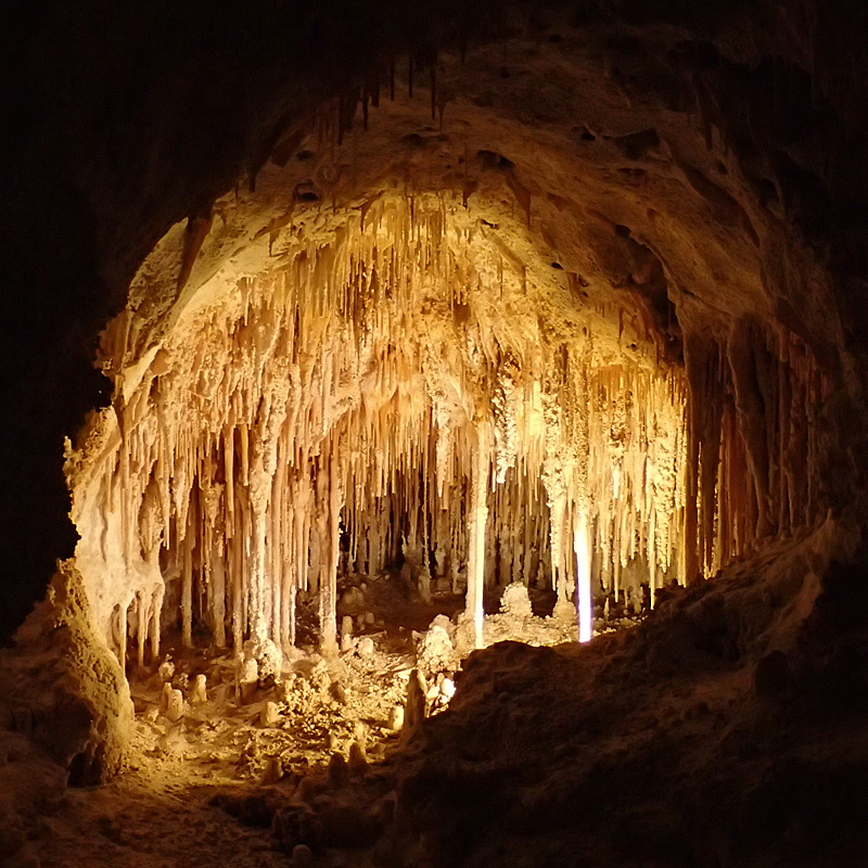
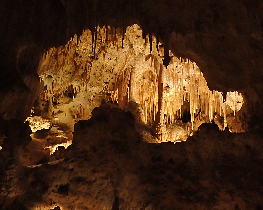 Okay – time for some gee whiz information. How do you remember which is a stalagmite and which is a stalactite. Stalactites cling tight to the ceiling, and stalagmites might reach the ceiling. Now you’ll never forget – for all the good it’ll do ya….
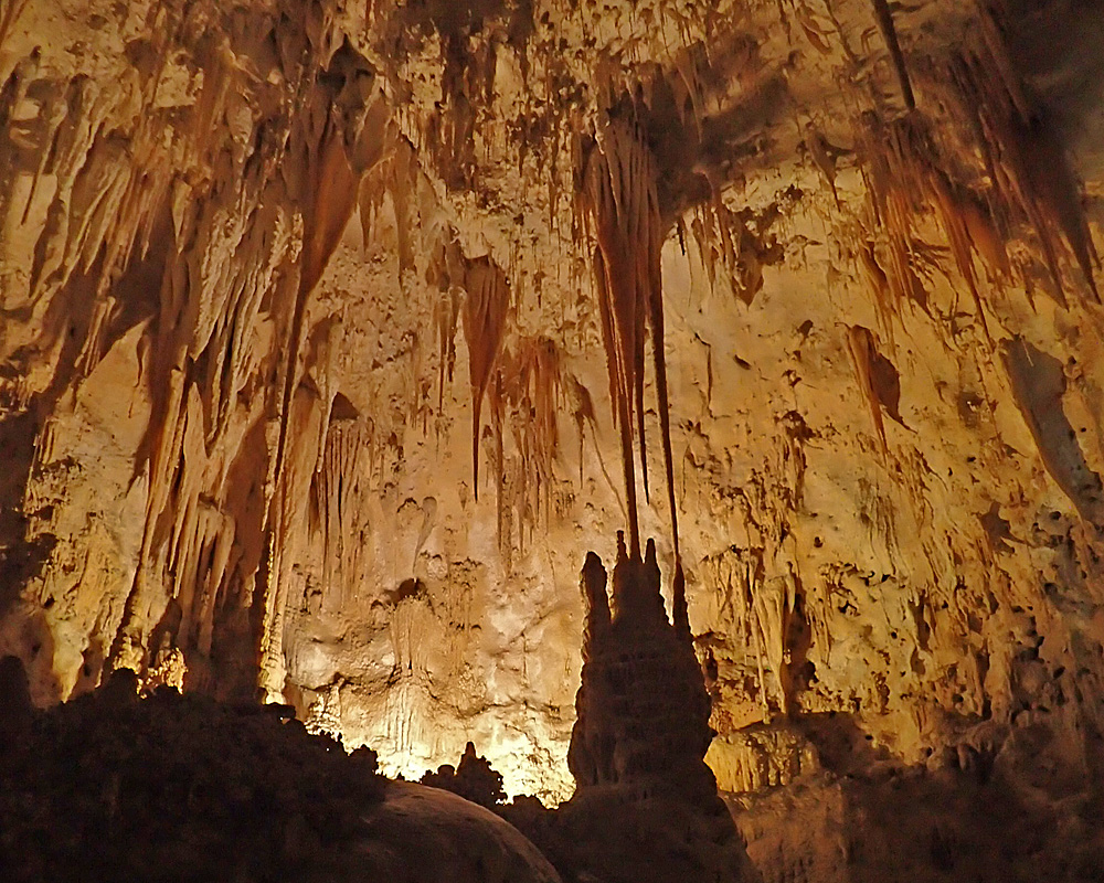
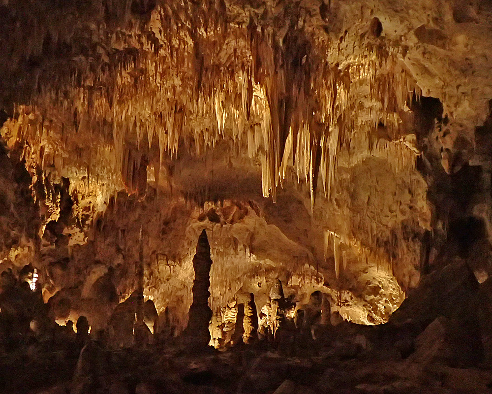 I thought I might take a ranger guided tour but I was told that they were all sold out a long time ago. I did see a ranger guided tour though, going the opposite direction as I was walking around down inside the cave. They were following close, single file behind this guy with a smokey bear hat and I actually laughed out loud. I almost started – “You had a good home but you left – You’re Right, Your mother was there but you left – You’re Right.” My little brother would have actually done it – I was laughing too hard just thinking about it.
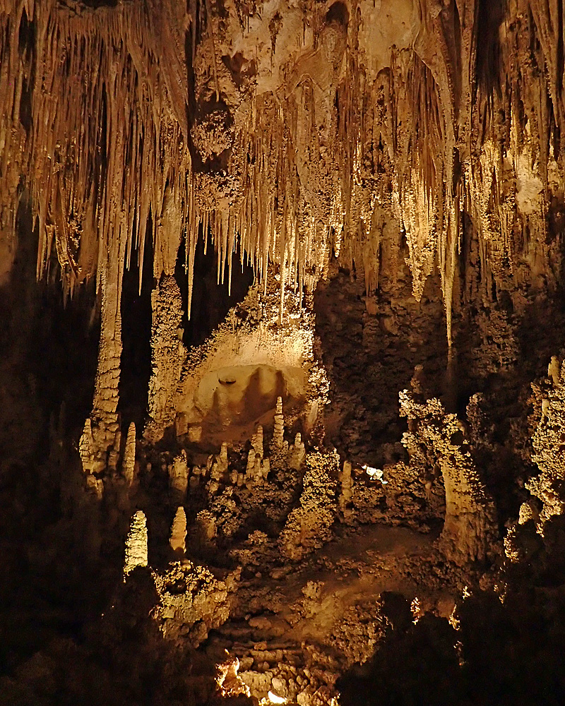
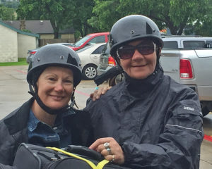 While I was waiting around I met some very interesting people. Amy & Donna are from Toronto and Niagara Falls respectively and did three 500 mile days in a row to get here. They stayed yesterday for a ride around and are leaving this morning for Yosemite. Even though they were two hours late getting started because of the storm, they were pretty sure they could get 750 miles in before calling it a day. Ride safe girls – respect!
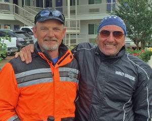 I also met Ralph and Doug – they are from Oklahoma City and they too are serious riders. They have been all around the country and we swapped stories for about 30 minutes while they were loading their bikes. I got a really good lead on a place in Colorado to check out and you can be sure – that’s gonna happen – thanks guys, & safe travels.
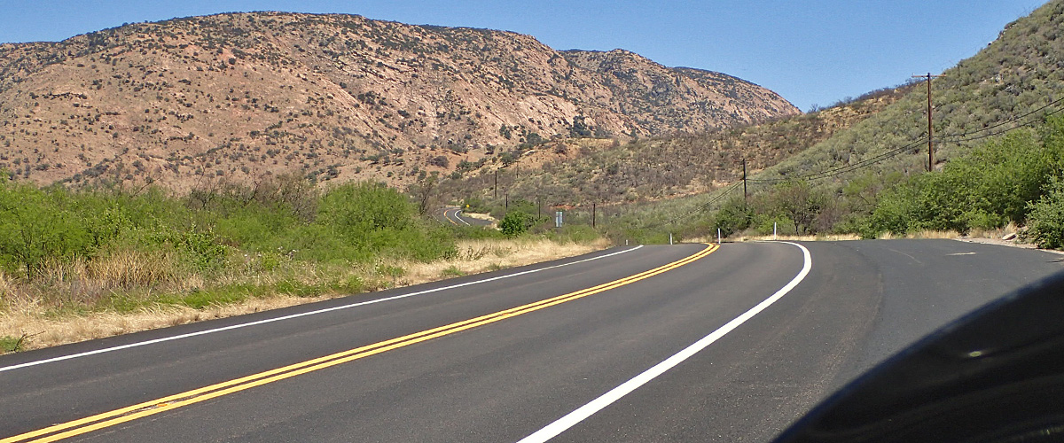
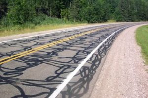 I was a little worried when I saw these in the road. This is crack sealer and when it gets warm it’s gooey. Not sticky because it dries on top but underneath that layer it’s pretty flexible in the heat. So, if you’re carrying any kind of speed into a turn and you happen to get one (or more) of these under your tires, things get kinda wiggley – THAT’s not a good day. But the tar snakes went away almost completely after 30 miles and the rest of the day the roads were almost new. I’ve said it before, but in general, the roads in Texas are the best maintained roads in the country.
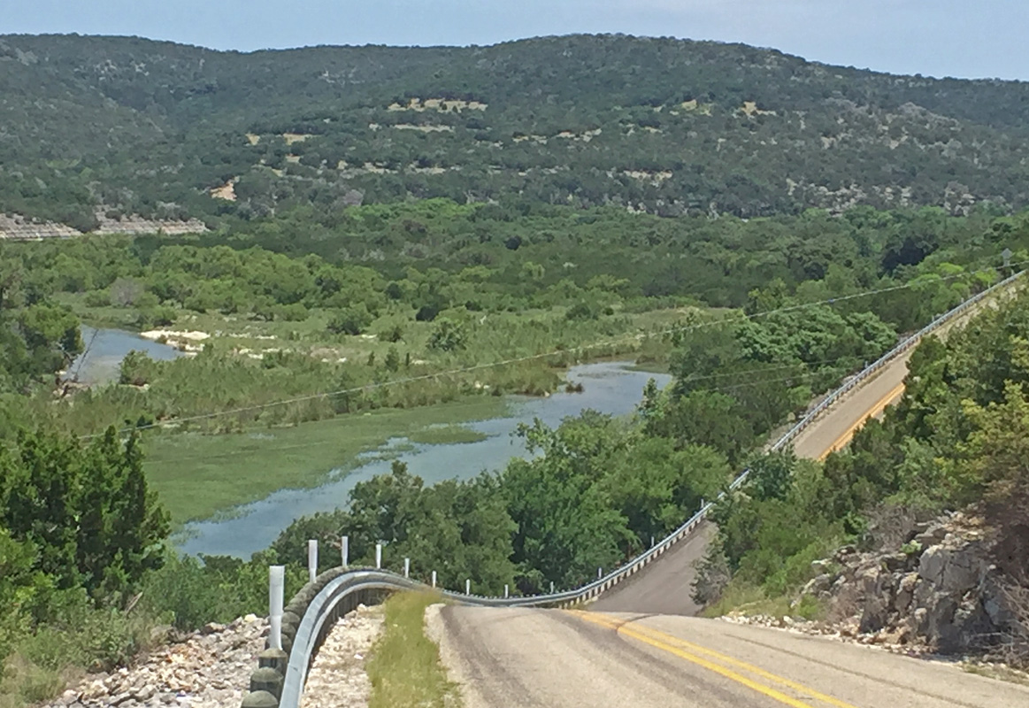

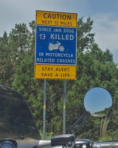 What’s GREAT out here though is that they actually bank the turns. I’m sure that it’s for drainage but it makes it seem like you’re at a NASCAR track. They do try to make you think a little about what you’re doing though. The numbers from this sign, combined with the other sign I saw make the total 21 riders killed in 7 years. It’s a fun activity but it is dangerous. I only saw one crotch rocket going at what I would consider suicide speed around a corner, mostly just old guys like me occasionally twisting the throttle a little to get a shot of adrenaline.

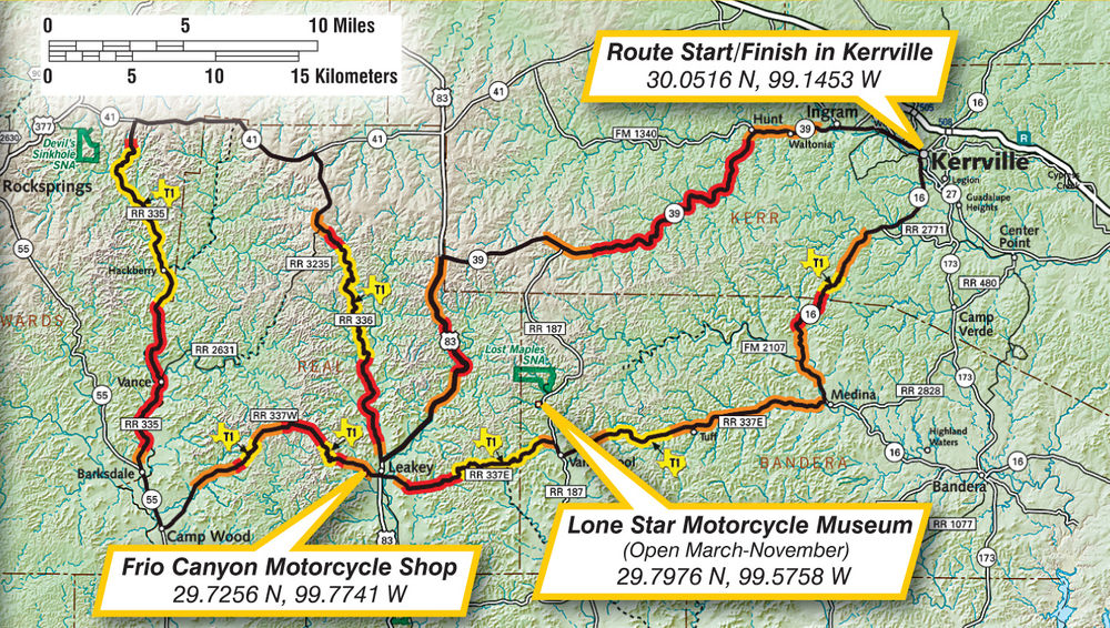
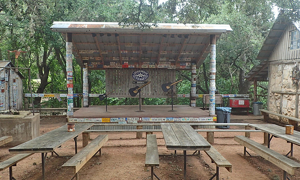
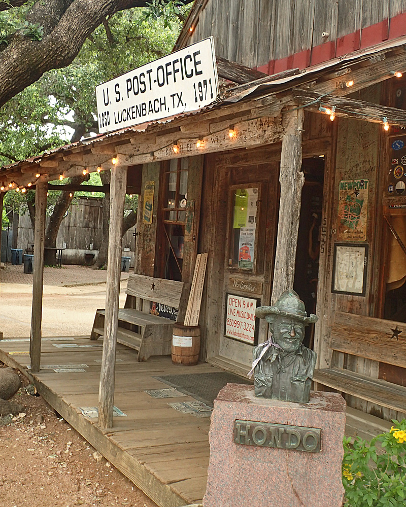 My visit to Luckenbach was short as there is very little to see but I nevertheless enjoyed talking with the clerk in the 150+ year old General Store. She has been there for 12 years and is part of the nightly music performances. I grabbed a little memento and was back on the road less than 10 minutes after pulling up.
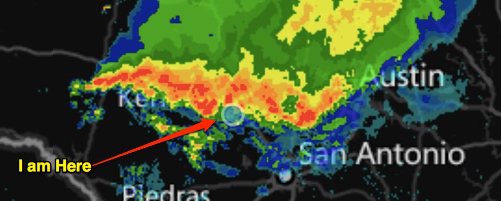
 I know my general direction is northeast so I’m just picking a road that looks like it goes northeast or north or east and where the sky is brightest, and it’s working out pretty well. This trying to stay dry thing is a game for me on these rides. It’s like a maze that I need to find my way through or something and my reward for success is that I don’t have to wear the rain gear. Maybe that’s why I don’t like putting it on – it means that I’m admitting defeat. On the way back you can’t out run it because it’s coming at you. So, you just pick a weak spot in the line, put your head down, and go for it – kinda like Red Rover.
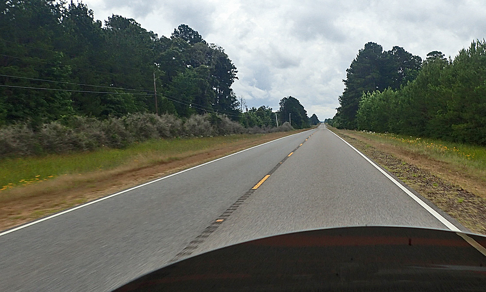
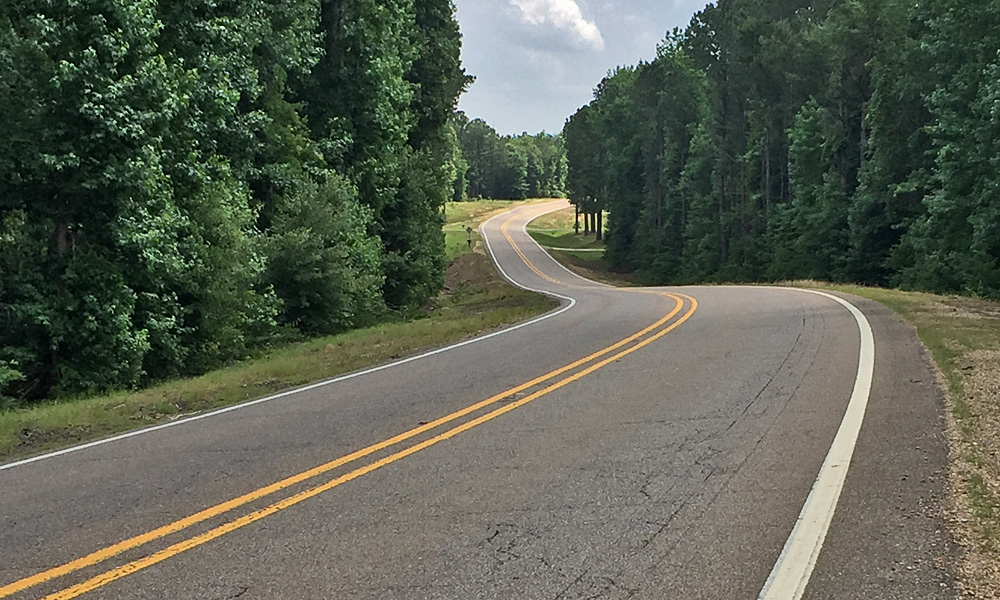
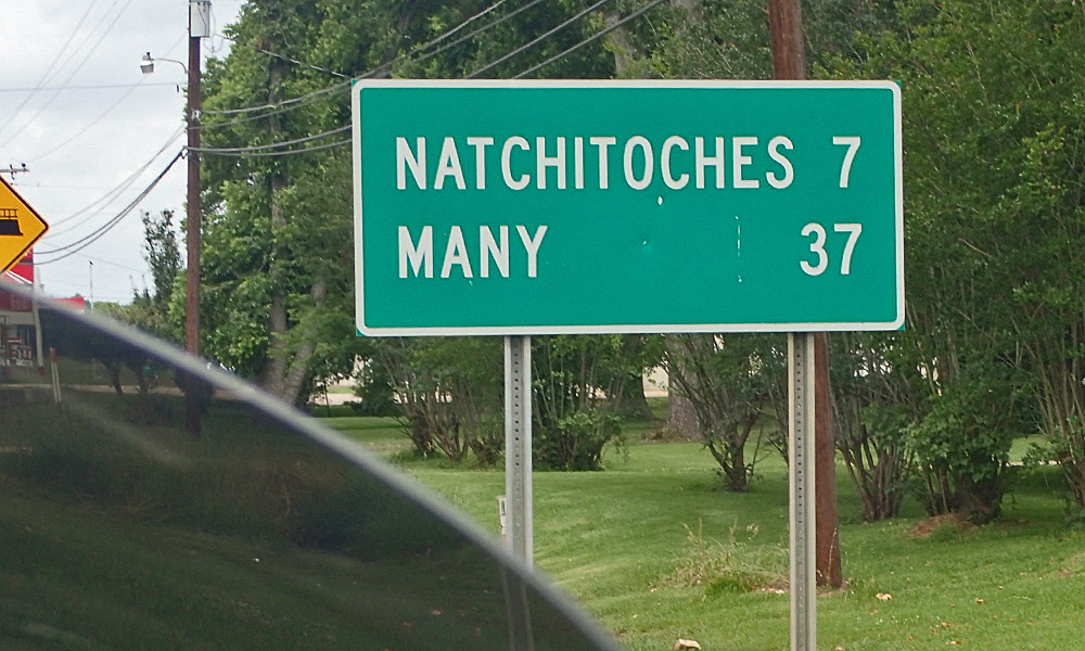 I already mentioned the condition of the roads. Along with that, goes the speed limit. All the way across the state of Louisiana the speed limit was 55 mph – UGH. What in Texas was a fun, exciting and sometimes challenging ride at 75 mph, in Louisiana turns into a boring and dull clop along at 55 mph. I think they just never changed the signs from back in 1974 – when 55 was the national speed limit, remember that?? Forgive me for doing the math for you but a 300 mile ride at 75 takes 4 hours; at 55 it takes an hour and forty five minutes longer. SO – I don’t go 55 mph, I ride between 63 and 68 mph. That adds to the fun, but now the challenge is to not get a ticket, which is a different kind of excitement I guess. But the state of Louisiana has turned me into a criminal. Take a look at this road – Fifty Five miles per hour….. Really!!
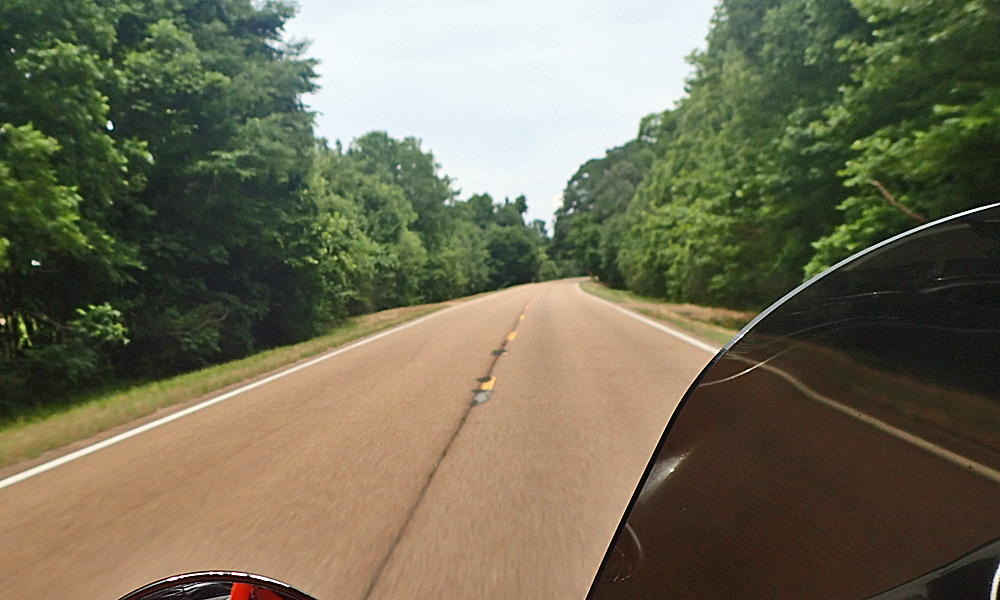
  I thought I was going to get some “professional help” (law enforcement) with my speed when I noticed a highway patrol car in the median – the cruise control was set at 69. His brake lights came on, then the lights on top, and I started looking for a place to pull over. Guess he got someone going the other way because I never saw him again. I dropped down to 63 for the rest of my Louisiana experience.
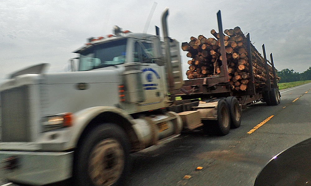 One thing that both states have in common is pulpwood trucks, but they say pup-wud. They haul cut down trees but you can’t call them logging trucks because the trees are too small to be called logs. The trucks do however shed bark, mud, rocks, etc. It’s time to be alert whenever you are near one of these trucks. I was passing one and a piece of bark came off like the driver had been waiting for just the right time to release it; missed me but barely. The trees are ground up into pulp and used to make paper and other stuff.
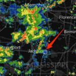 I started looking for a place to stay 45 miles south of Jacksonville because I didn’t like the way the sky looked to the north and I didn’t want to have to lose the game at the end. That didn’t work out but I didn’t lose the game either. It was close though, this is what it looked like when I pulled up to check in and 10 minutes later, it was raining. That rain followed me all the way here – but I won….. this time.
 Yesterday I told you about the pulpwood trucks, and some of their hazards. Today I was behind a flatbed truck stacked with chickens. I would rather eat a tub of catfish bait than follow a chicken truck. I have no idea how much they pay those drivers but they don’t have enough money to pay me to do it. I think it said Sanderson Farms on the door of the truck but truthfully, I was going by so fast I could be wrong on that one. Regardless where they come from or are going to, you won’t see me behind a chicken truck for very long.
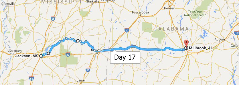
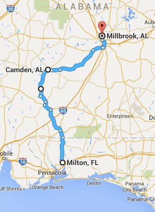
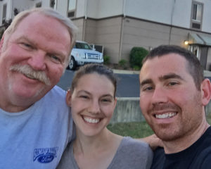 My main reason for being in Millbrook is that my niece Brandy and her husband Jayson live here. They are Master Sergeants in the Air Force and work with computer data and program design. Both smart as a whip and doing a great job for the Air Force & their country. They came to the hotel and took me out to dinner at the local catfish restaurant and I am STUFFED. I was just about full when my dinner came because the hush puppies, colesaw, and smoked white beans they brought out for appetizers were
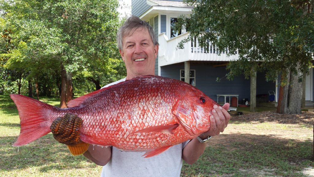
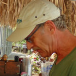
 I have another buddy in Milton – a guy that I was in the Air Force with a hundred years ago. I used to fish with this guy back then and while he was stationed up in Alaska, he told me to come up and he’d take me salmon fishing. Ned said, “Sure – bring him.” I stopped by and we visited for a couple hours. Unfortunately he won’t be joining Ned & I for the great Snapper Slaughter tomorrow, but it’s always good to see old friends. And yes, that’s really me in the picture.
 On my first night in Milton I was welcomed by a pretty violent thunderstorm. At 1:30 in the morning the lightening was so close that the thunder was actually shaking the house. Ned said that they got over 2 inches of rain that night. As it turns out, this was just mother nature clearing her throat, the real storm was yet to come – more on that later. We got up that morning ready for the Red Snapper Slaughter but the conditions were iffy at best. We decided that we weren’t going to give up that easy and went out to see the conditions first hand. Our “look around the corner” should have been enough of a deterrent, but we were determined and decided to venture out and see what the ride was really like. The distance from the corner to the fishing hole is 15 miles – after three miles of getting beat up pretty bad, we agreed that discretion was indeed the better part of valor, and headed for home. It was a good thing too, as conditions only got worse that day. This is Ned searching for some bait to net, we never did find exactly what we were looking for but he threw the net out a few times just for practice…
 The first things to fly out of the Pensacola NAS were these flying boats.
 Who doesn’t like a radial engine? They are the coolest looking and the best sounding engines I’ve ever heard. This one on the

 I also really like the looks of this T-6 Texan. My father was lucky enough to get a half hour ride in one – he talks about it to this day. Who wouldn’t – – –

 Well worth the trip and next time I’m in the Pensacola area, I’ll be back. Especially since it’s free; they would like a donation but it’s not required. I figured we donated enough with the money we spent inside. We went to see a Blue Angles movie filmed in I-MaX – not free but very cool. We also had a good and very reasonably priced lunch and a couple beers in the Cubi Bar Cafe.

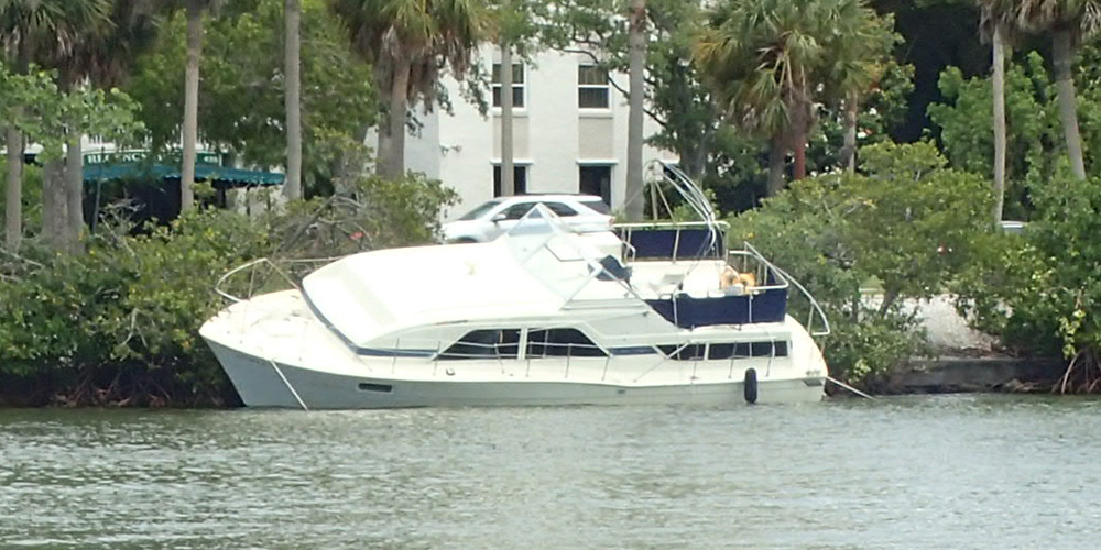
 Yesterday we went to a Tiki Bar in the downtown Sarasota area. The bar tender looked a little like Ron Bly and had some of the same mannerisms and a very similar way of talking, they could be twin brothers. And remember Tropical Storm Colin, with the 50 mph winds – two days ago? Well, the guy who owns this boat is going to remember it for a long time……
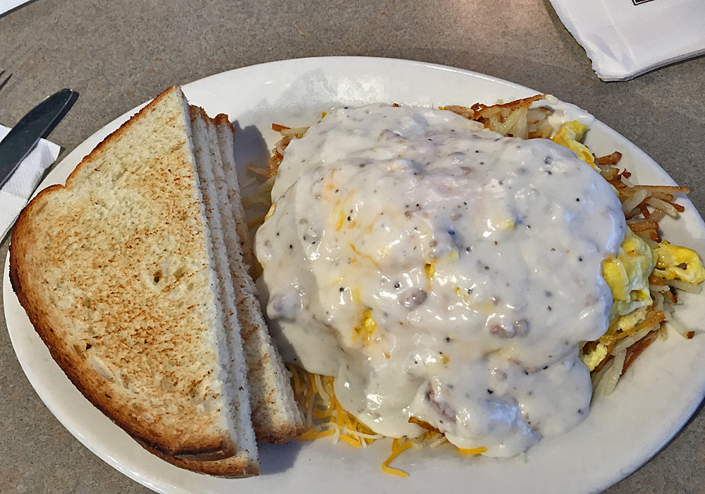
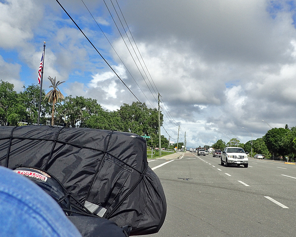
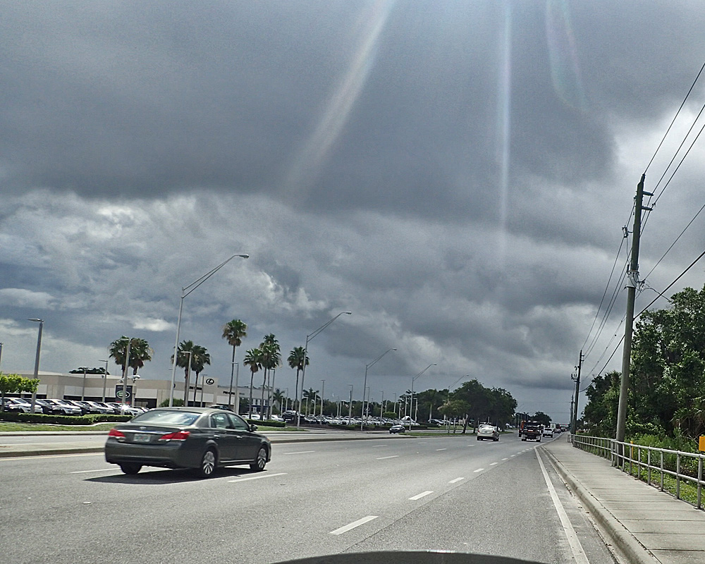
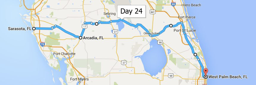
 Today was a short day so I did something I almost never do – – I slept in. I didn’t get up until almost 8:00; which was just in time for breakfast. My buddy Phil made scrambled eggs and biscuits & gravy. It was wonderful and I was plenty full when it was time to get back on the road. I knew that there was almost no way to get across the state or Florida in this area without getting rained on, so I had everything packed for the wet weather. But hey – I’ve been pretty good at dodging the rain showers so far, maybe I’ll be able to pick my way across the state and stay as dry as possible. I’m not putting on my rain suit though for lots of reasons. The cost of hubris is often very high, and today was wrath of the rain god day. Here is the view leaving Sarasota – Behind & Ahead.
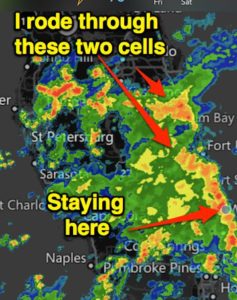 I was trying to ride toward lighter sky since I’ve been so successful with that tactic in the past, but there was no running from this thing. I have never ridden is such strong rain and if I’m ever faced with it again, I will not ride in it, like Green Eggs & Ham. I’ll be happy to share the details with you sometime but for now, I’ll just tell you that by the time I got to West Palm Beach, I was literally as wet as I would have been if I had fallen into a swimming pool. Today, I lost. What was really nice though is that my bike ran just fine even though it was raining HARD and the wind was blowing hard from the right as well.
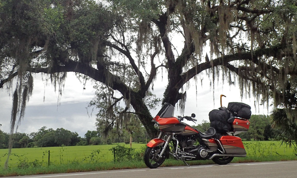
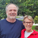 Before I go I would like to thank Phil and Shelly for their hospitality and being such good friends. You may very well be hearing about Phil again, he is going to Detroit to buy a BMW GS 1200 and ride it back to Florida. We may very well meet somewhere between here and there. Ride safe my friend, I’ll be looking for you somewhere in Georgia maybe – get a good rain suit….. Ha ha

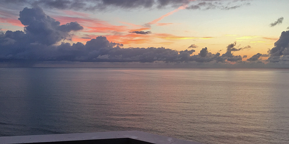
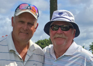 Waking up to a sunrise like this is a great reason to get up early in the morning. Time with Scott means we’re probably going to be playing golf. I was his guest for three days at
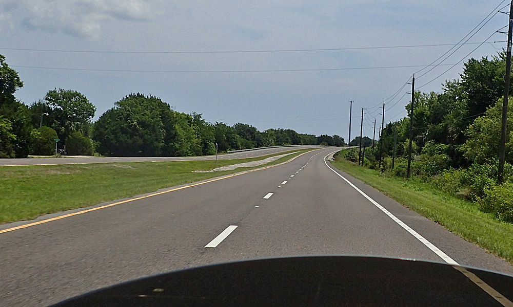
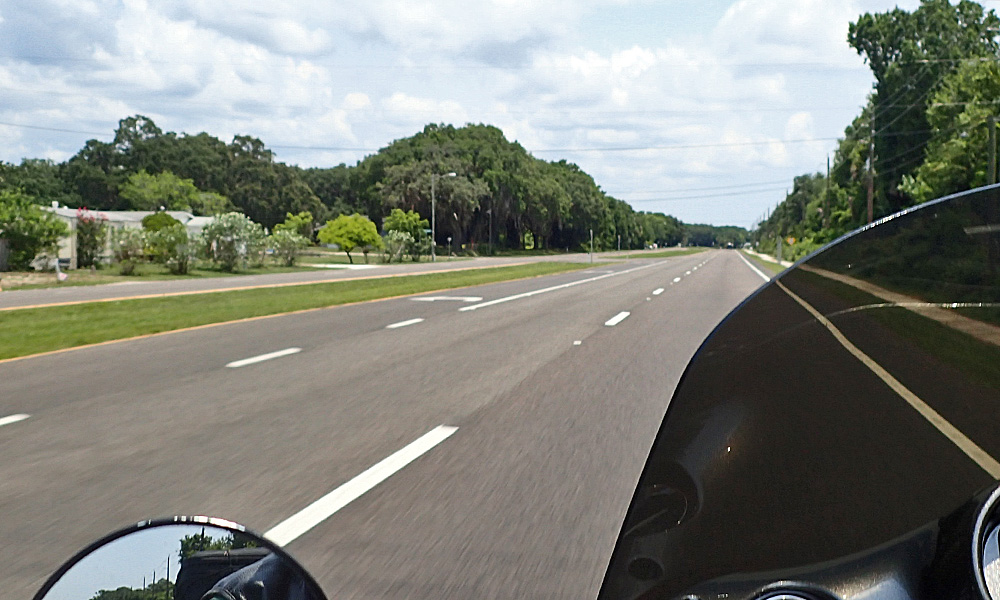
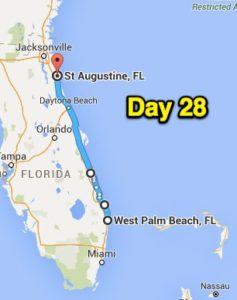
  After taking Theresa out for her birthday breakfast it was time for me to get on the road. It’s kinda slow going up A1A in Florida (sister road to the Pacific Coast Highway) but it’s a much better experience. The easy curves and smooth roads between the towns make you forget the short amount of time spent trying to catch the next green light.
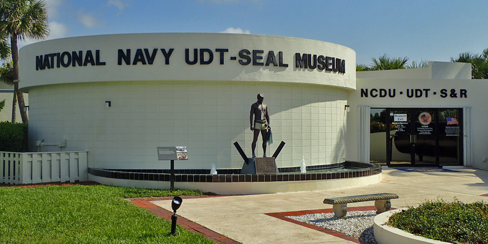
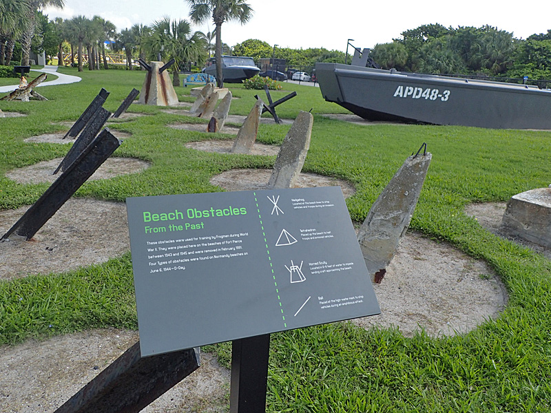
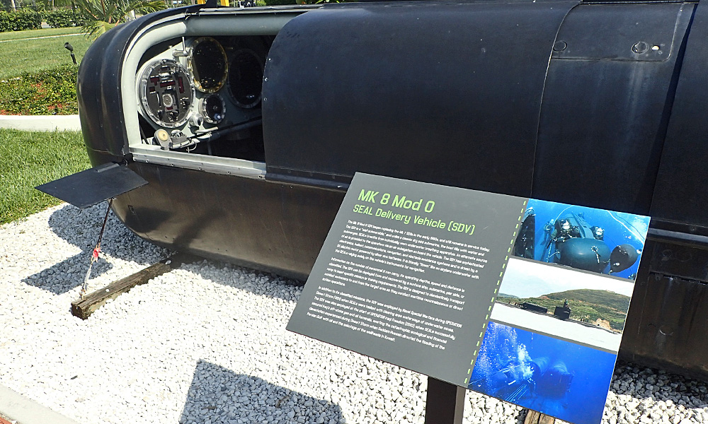
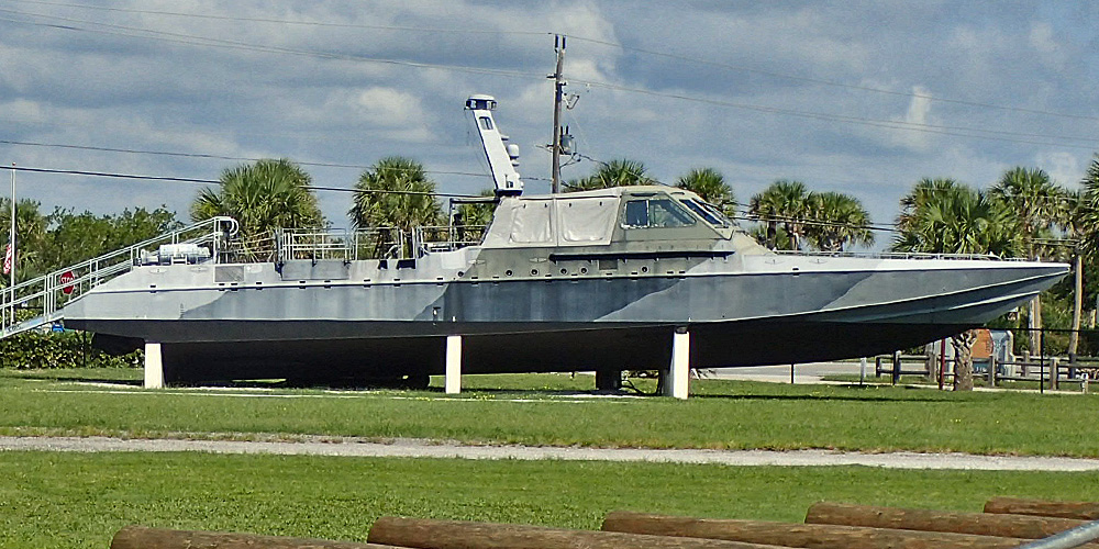
 One of the things I would have liked to do on the way to St. Augustine was go visit the Navy Seal Museum. When I got there, I found out that they are closed on Mondays. However, there was a grounds keeper (former Navy Seal) that, after verifying I was a Vet, allowed me to go inside the gates and take a few pictures while he ran some trash to the dumpster.
 It’s hot here in Florida this time of year. It’s a little easier to deal with when you’re moving though. What’s really welcome is some cloud cover because it’s much better in the shade. But it doesn’t rain when the sky is clear so clouds can be dangerous as well. Luckily I only experienced a couple of showers today – which actually felt good.