March – Bagdad, Arizona

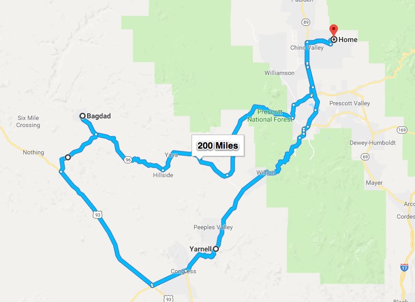
As most of you are aware, we moved to Arizona several months ago.  I am getting ready for my spring ride and thought I’d share a ride we recently took over to Bagdad, AZ.

I wondered how the town got it’s name, story goes that a father and his son were digging ore way back in the 1800’s.  Needing a place to keep the valuable rocks that were piling up around him, the son asked, “Where is the bag-dad?”  Whew – I can’t believe the people that live there haven’t been able to make something up that’s better than that one…….

The ride to Bagdad is mostly a solitary adventure.  When we left it was cold with small patches of snow clinging tenaciously to life at the higher elevations, but by the time we got out of the mountains it was warm enough that the outer layers were packed away.  It’s difficult to see in this picture but behind the bike there are quite a few saguaro (sa-WAR-o) cactus.  I won’t go into the whole saguaro thing other than to remind you that its blossom is the state flower of Arizona.  Check out this link for more – Saguaro
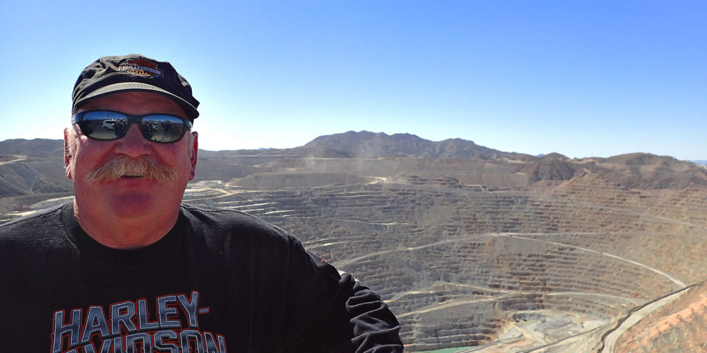
Bagdad is a copper mining community at the end of state road 96 in western Arizona.  The first mining claims for copper were staked in 1882.  The mine started as an underground mine but transitioned to open-pit mining back in 1945.  The town is a “company town”; one of two in Arizona. (A company town is a place where practically all stores and housing are owned by the one company, that company is also the main employer.)  The towns of Bagdad and Morenci are both owned by Freeport-McMoRan and both are based around open-pit copper mines.  In addition to the copper, the mines produce a fair amount of molybdenum, which has many uses but is used mainly to strengthen metal – kinda like tungsten.

This is the Bagdad pit.  Each one of those steps (they call them bunks) is 50 feet tall and 50 feet across the top.  The mine runs 24 hours a day and employs over 700 town residents. The available mining fleet is capable of moving more than 20,000 metric tons of material per day.  In 2015, copper production at Bagdad amounted to 210 million pounds.  The Bagdad mine supplies 20 percent of the copper for Freeport-McMoRan.  It would be interesting to get an inside the mine tour.  I believe you can have that experience in Bisbee, Arizona at the Queen Mine.

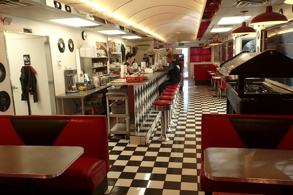
After our visit to the mine lookout it was time for some lunch.  There are a couple options in Bagdad but we saw this place on the way in to town and I just had to check it out.  I’ll bet you Diners Drive-Ins & Dives never comes all the way out here.
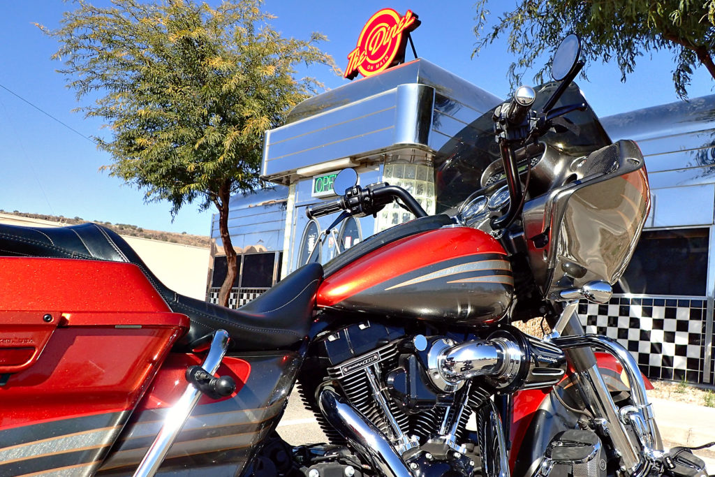
Inside is as typical diner as the outside and the food and the service were excellent.
Okay – with Bagdad checked off the list it was time to get back on the scooter and head for home.  Don’t want my bride to be too cold going over the mountain.
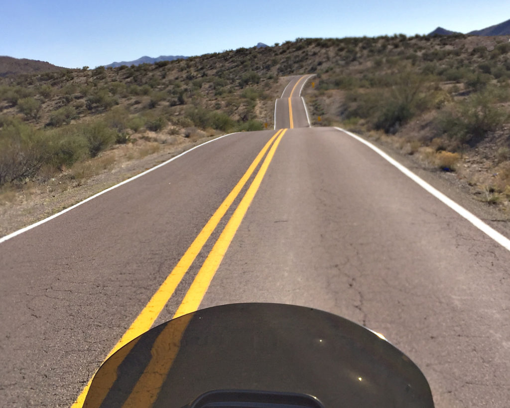
It looks like they just laid the asphalt over the top of the ground.  Very little moving of the earth to make the road flatter or straighter.  I’m sure there are plenty of folks out here on the weekends, but on our mid week ride we were pretty much the only ones on the road – and that is absolutely perfect as far as I’m concerned.

The ride home took us past the Granite Mountain Hotshots Memorial State Park.  19 fire fighters were killed nearby on June 30, 2013 fighting the Yarnell Hill Fire.  The recent movie Only The Brave tells their story.  Even five years later, the loss of those men is a pretty fresh wound here in northern Arizona.  Almost all of those men were local to the area and well known and respected.  One of these days I’m going to visit the memorial and take the three mile hike up the hill to the observation deck.  From there you can look down on the site where the men were over run by the fire; you can walk down there if you like.

Sorry to end this post on such a somber note but in addition to all the fun and good times – I feel it is necessary to remember those that risk their lives every day so that the rest of us can be out there living the dream…..

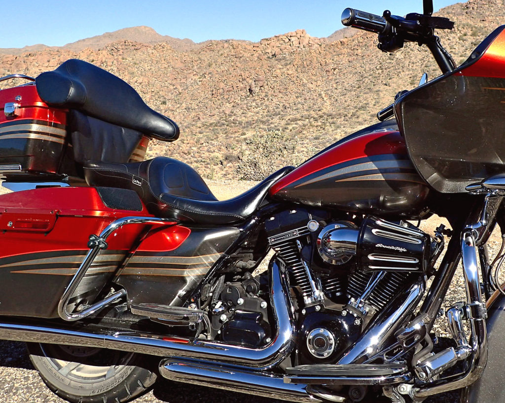
See you down the road…


September – East & West Camino Cielo

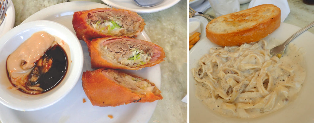
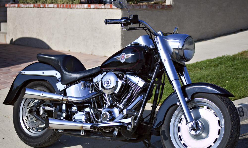
A couple weeks ago I hauled out my 2000 Fat Boy and got her all cleaned up for a trip down to Manhattan Beach to meet some of my fellow LAX retirees for lunch.  We met at the North End Caffe which just happens to have been featured Diners, Drive-Ins & Dives.  If you’re ever in the area, there are a couple things on the menu that I highly recommend.  The Kahlua Pig Monte Cristo Egg Rolls are as tasty as they are unique and more of a meal than an appetizer. The Fettuccine  Carbonara (one of their signature dishes) is fantastic.  Great food and awesome friends – I always look forward to our ExLAX get togethers.north-end-caffeThe ride back and forth to lunch reminded me of just how much fun I have on this bike.  Right away, I started thinking about where and when I could go for a blog post ride.

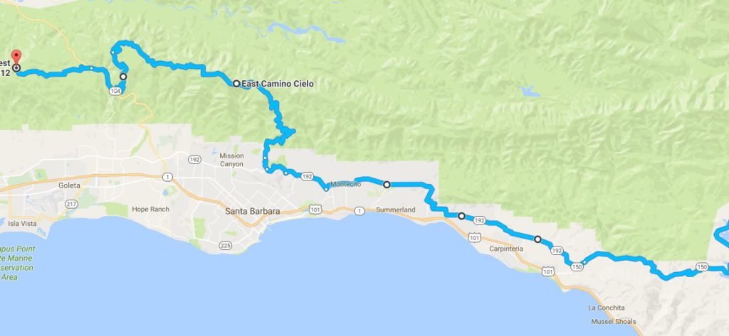
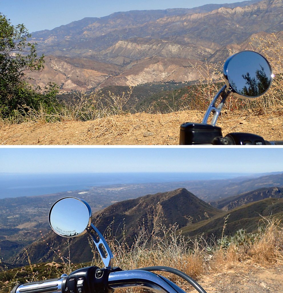
Along the ridge line of the Santa Ynez Mountains, just above the town of Santa Barbara, California you’ll find a seldom traveled stretch of asphalt aptly named Camino Cielo or “Sky Road”.  Hwy 154 separates East Camino Cielo from West Camino Cielo.  From hwy 154, “West” is 4 miles of paved road that turns to dirt at the Winchester Canyon Gun Club.  If you have a dirt bike and some skills, I’m pretty sure you can take the dirt road down into the town of Santa Ynez; someday I’ll do that…   “East” takes you along the mountain ridge and if you’re here during the week, you’re likely to be the only one on the road.This whole area is a great place to ride, tree lined roads, beautiful mansions, polo grounds, flower farms, and perfectly manicured golf courses are just some of the things you can expect to see.  In addition, if you take the back roads (the only way to go) you can have lots of fun going through the turns along the way.

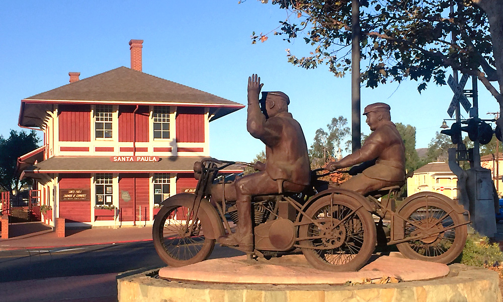
It’s been plenty warm here over the past couple weeks, so although it was cool just after dawn this morning, I was enjoying the chill knowing it would be a fond memory by the time the afternoon rolled around.  The back road into Ojai goes through the town of Santa Paula, and right past their vintage train station.  Southern Pacific put the railroad through in 1887 but in 1904 a shorter route through the Santa Susana Pass relegated this stretch of track (between Saugus and Ventura) to local use.  Up until 1950 it was used to haul citrus back and forth to packing houses and communities along the Santa Clara River.  These days, the track is owned by the Fillmore & Western and the only trains that run are involved in filming (over 400 movies and commercials) or for entertainment and tourism.szpForged in steel by Santa Paula artist Eric Richards, The Warning commemorates the heroism of the Santa Paulans who worked to save lives during the St. Francis Dam Disaster.  The newly completed 200-foot tall St. Francis Dam, was located five miles northeast of Newhall and collapsed  just before midnight on March 12, 1928.  As the deluge approached, two Santa Paula police officers rode their motorcycles through the low lying areas of town, warning residents to evacuate.  The floodwaters swept down the Santa Clara River valley to the ocean, claiming 425 lives.  It remains the second-greatest loss of life in California’s history, after the 1906 San Francisco earthquake and fire.

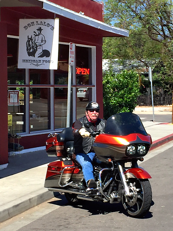
After a stop at Don Lalo’s for breakfast I was back on hwy 150 out of Ojai and was quite surprised when I saw just how low Lake Casitas is.  Look at the boat launch ramp (white paint on asphalt for comparison).  Sure will be nice when we start getting some rain again.

Gibraltar Road leads you up from Montecito to East Camino Cielo.  Imagine my surprise when I came up on these two near the top, getting ready to launch a hang glider off the side of the mountain.  They were very kind and allowed me stand around while they prepared and then document their departure – looked like fun, a little scary but fun.

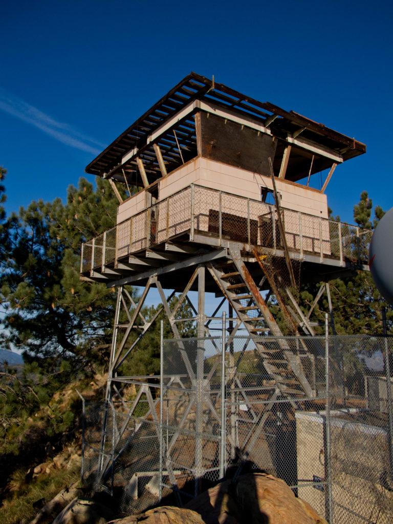
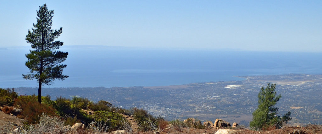
I love coming up here to ride this ridge line road – mountain on your right and the ocean and Santa Barbara on your left.  “Top of the World”left-rightMy  next stop, just a couple miles up the road, was the La Cumbre Peak lookout station.  At nearly 4,000 feet, this is the highest peak around.  I’ve gone past several times, but this is the first time I’ve made the hike from the road up to the lookout.  The fire lookout has obviously been abandoned for some time, but what a spectacular view from up here.  There are actually a couple picnic tables, bring your camera .

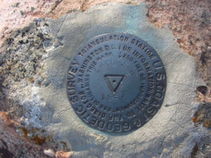
11-benchmark

This is a picture of the La Cumbre Peak U.S. Coast Geodetic Survey Benchmark (click image to enlarge).  I found the place where it’s supposed to be but it looks like someone stole it.  They’re more common the closer you get to civilization but I’ve never seen one in the middle of nowhere. Still haven’t……

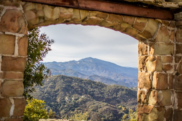
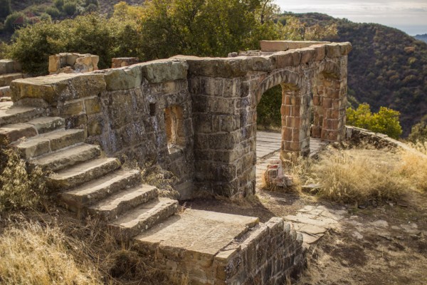
Ever hear of a place called Knapp’s Castle.  George Owen Knapp, founder of Union Carbide, built Knapp’s Castle shortly after purchasing the 160-acre parcel back in 1916.  In 1940, Dr. Frances Holden bought the property for $10,000 and invited her friend, world-famous opera singer Lotte Lehmann, to move in.  The mansion was destroyed by a forest fire only five weeks later, and now only the massive sandstone foundations, fireplace pillars and walls of the original seven structures remain intact.  The property is still privately owned but is open to the public.  Here’s a picture of the some of the ruins and the view of Santa Ynez Peak out the window opening.  The other “windows” look down the Santa Ynez River Valley toward Cachuma Lake – that thing is barely a mud bog these days.knapps-castleruins-knapps-castleTwenty-four years was probably a pretty good run.  You gotta know that there was no fire support way up here back then and where would you get enough water to fight a fire?  Too bad really, I think this is a far better location than Hurst Castle.

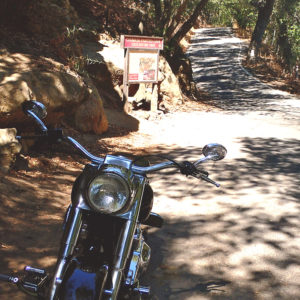
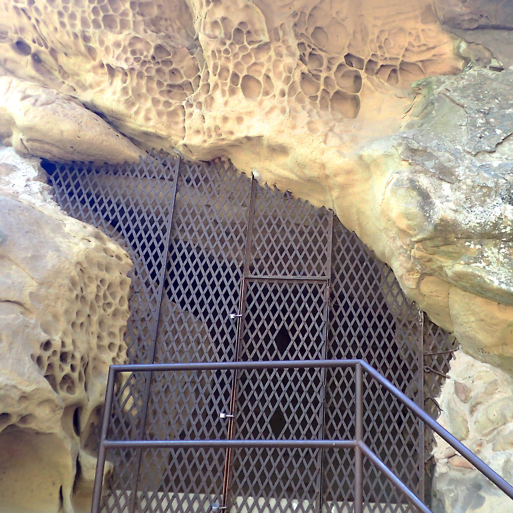
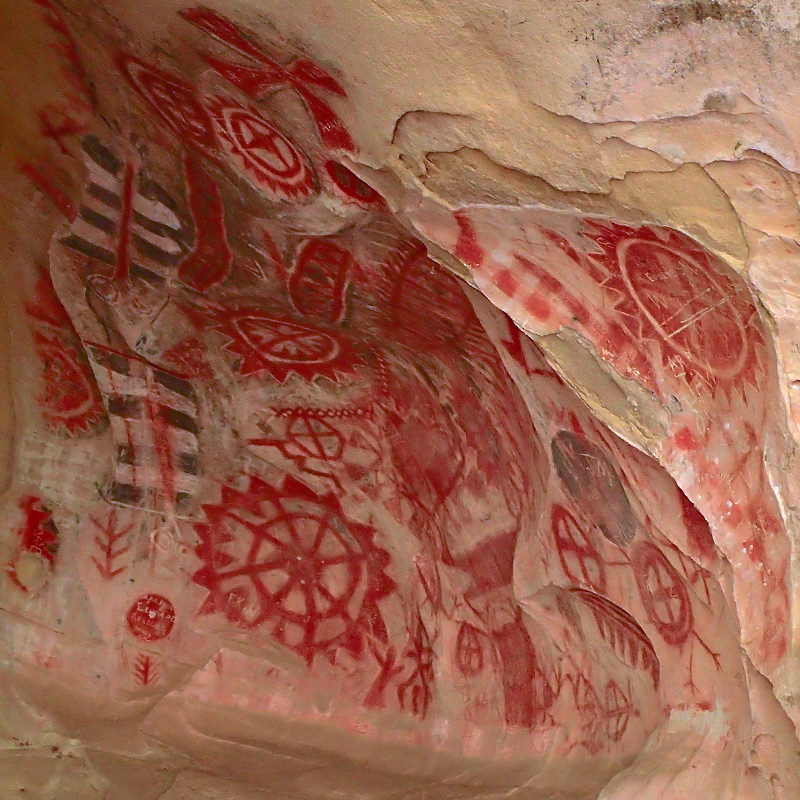
A mile down the road, a left turn on Painted Cave Road takes you through the small community of Painted Cave, to Chumash Painted Cave State Historic Park.  The “parking lot” is a tiny shoulder on a road that’s so narrow it has no center line.  The cave is only 12 steps from the street.  There is some graffiti but they know that was done by early settlers due to the correct grammar.  A protective barrier was installed and whomever is in charge of that deserves a medal, as it is still well preserved.

They know that the Chumash are the people that made these drawings using charcoal, red ochre, and powdered shells.  The individual tribesmen were probably shaman or priests who came to the cave seeking power or spiritual strength as they tried to influence supernatural beings and forces to intervene in human affairs – probably more than a little peyote involved….  And what’s up with all those pockmarks in the sandstone around the cave??  Maybe that’s where they kept their crayons.

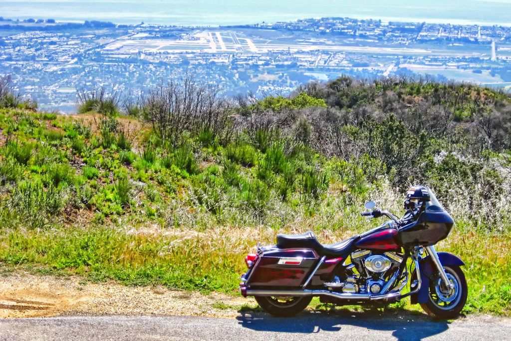
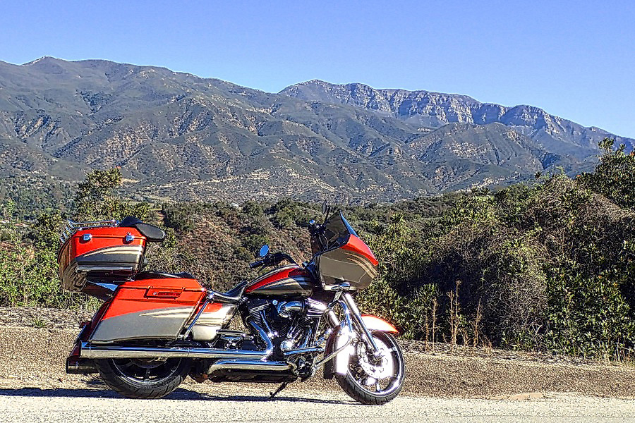
Painted Cave Road is about the end of East Camino Cielo.  As I told you, the west road is fairly short but it has it’s attractions.  It is also very solitary (after you get past the houses) and you’re right above Santa Barbara Airport.  I have been here with both bikes and have several pictures but this one is my favorite – that’s my old Road Glide with the old paint.

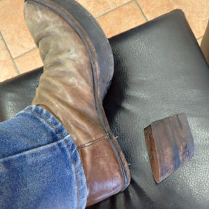
sba-copyI didn’t go over to West Camino Cielo, and I didn’t go to Knapp’s Castle either.  I intended to, but way back at the hang glider flight – the heel came off my left boot.  After hiking up and down La Cumbre Peak with no heel on my corrected boot, I was pretty much done walking.  I did go down into Santa Barbara and tried a couple of shoe repair shops with the intention of going back up and finishing my ride if I could get my boot fixed – but they were no help.  So, the ride got cut a little short.

All in all, it was a great day for me; I hope you enjoyed it as well.


February – Ojai Breakfast Run

While much of the rest of the country is suffering through some terrible winter weather, here in Southern California it’s almost like summertime.  We are replacing the fence around our house and that project has been keeping me pretty busy (and sore) for the past week or more so a break was in order and, since the weather is so good – a motorcycle ride is just what the doctor ordered.

We had to make it quick though, because we have “workers” at the house. I have two or three guys that are helping me with the fence and while they are strong backed and diligent workers, they require a level of supervision if everything is going to be done correctly.  So – we’re just on a breakfast run this morning.  A friend of mine owns Westlake Auto Collision and painted the hood on my new truck.  He and his wife were supposed to be going with us but there was an issue with his bike last minute so it was just Robin and me.  By the way – if you ever need body work go to family owned and operated, Westlake Auto Collision. Don’t believe me? – check out their Yelp reviews.

TO to OjaiWe’ve been on this ride several times before – the back road into Ojai, for breakfast at Don Lalo’s.  You owe it to yourself to try Don Lalo’s if you like Mexican food at all.  They do have non-Mexican items for those of you who would rather have something else.  Just in case you who ain’t from ’round these parts, Ojai is pronounced O’High.

One of the things that makes for a warm day in the winter time here is wind out of the north that they call the Santa Ana winds.  Now there’s a bit of controversy about whether it’s Santa Ana or Santana.  I like Santana better but that’s likely just the rebel in me because most everyone says Santa Ana.  If you’re interested in the Santana debate here is a link to check out; for any other Santa Ana wind questions you might have – try this link.

Another thing that the Santana winds give us is clear skies.  Also, we’ve gotten a bit of rain this year and things are starting to green up a little.  When it’s a good rain year, this place looks like Hawaii – green everywhere.  Come on El Niño.

On Hwy 150, just past the town of Santa Paula is the Thomas Aquinas College (Catholic).  I’ve never stopped there but would like to one of these days.  The picture above was taken close to there.  Kind-of a funny story – there is a sulfur spring very close to the college and you almost always “get a whiff” when you go by on a motorcycle.  Back when I was dating, this would be the first motorcycle ride I would take prospects on and when we hit the sulfur smell, I would turn to my passenger/date and say, “Was that you??”  If she didn’t think that was funny…. probably not the girl for me.

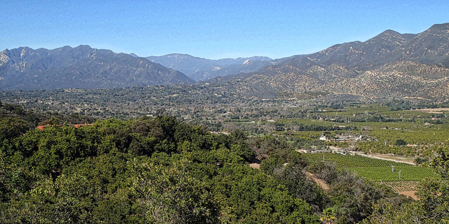
When you come into Ojai via the back roads you get this view of the Ojai valley just before you hit the switchbacks that take you down into town; if you were wondering why you came this way vs. the freeway — wonder no more.

Ojai Valley 2Nothing really special for this blog post, just a beautiful day in California in the middle of February and a husband & wife bike ride to breakfast (a delicious bowl of menudo & about half of Robin’s breakfast burrito for me).  Hope all y’all are doing well and maybe I’ll see you on my spring bike ride this year; sometime in April to sometime in June – I think….

October – Slingshot to Sedona

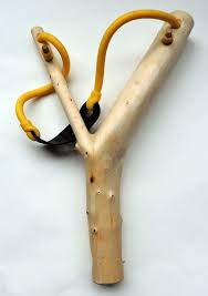
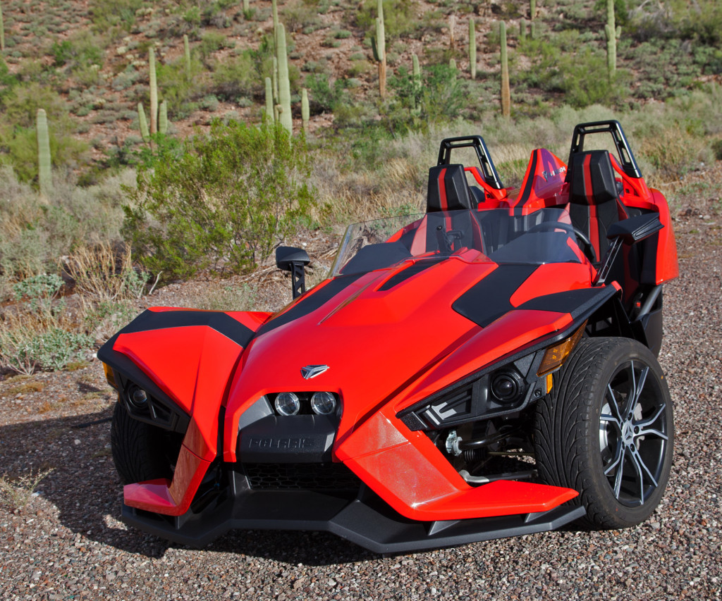
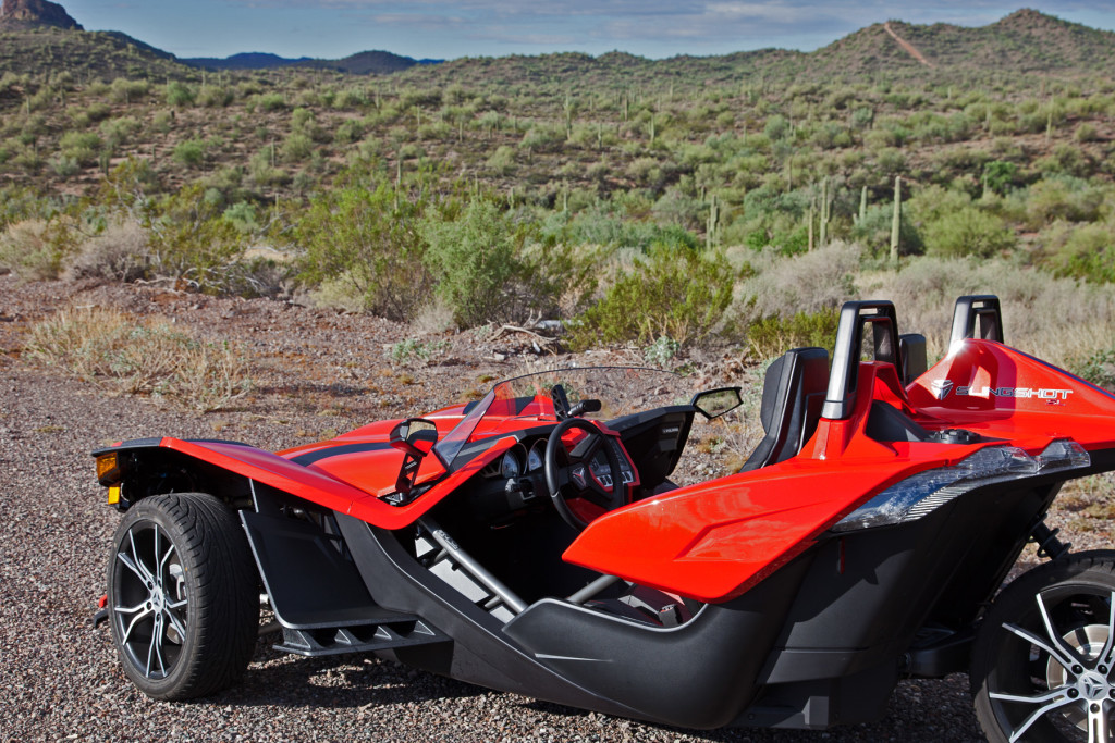
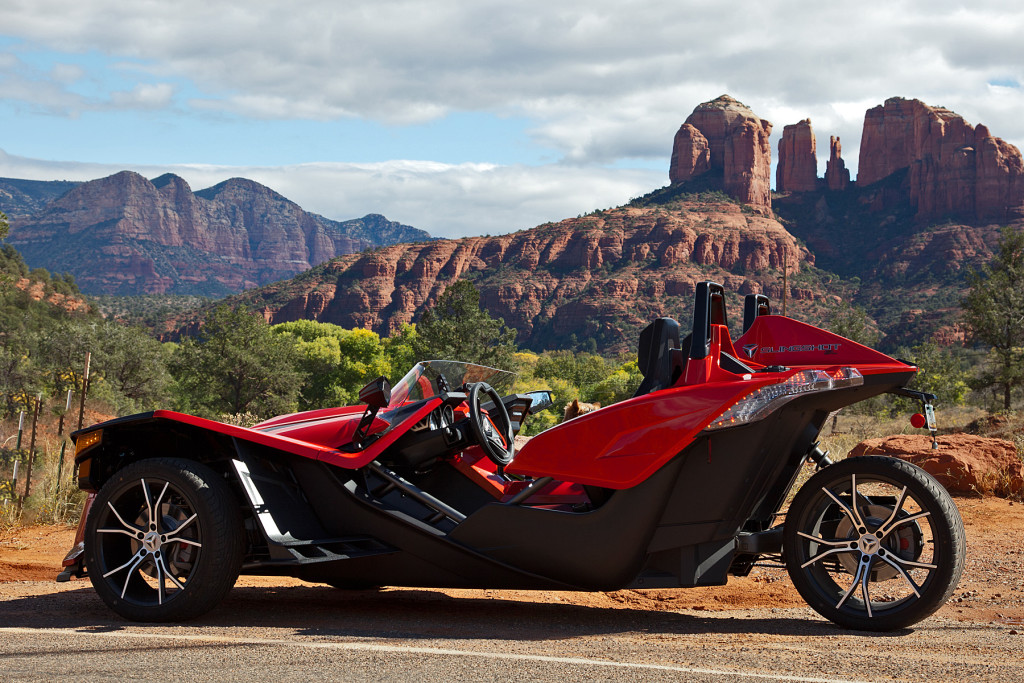
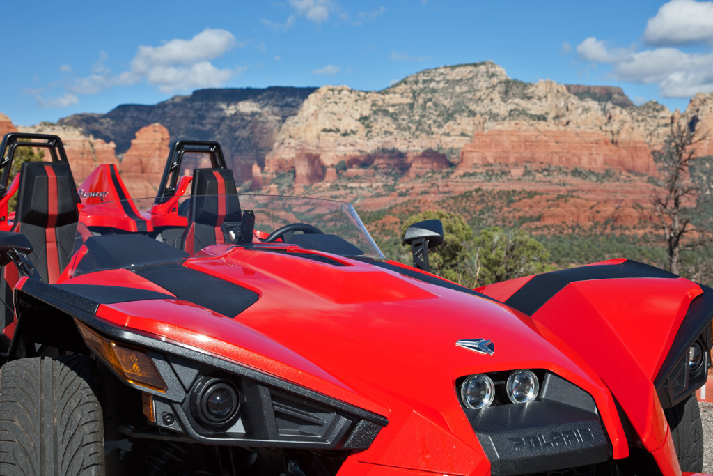
SS Wood –   You all know what this is, but how many of you know what that red thing is?  They both have the same name and flying through corners in the red one feels like you’ve been shot out of the wooden one!!
–   After many years of riding a motorcycle, my father decided to trade in his two wheeled adventure machine for a little more stability.   This thing is FUN on steroids.  It sticks to the road like nothing I’ve ever driven and has so much power that it takes practice to keep from spinning the rear tire when pulling away from a stop.
–   Imagine my excitement when I asked my dad if I could take it up to Sedona for my October 2015 ride and he said, “Sure.”landscape_1423493089-polaris-slingshot

I really should have done some homework on this machine before I started my little adventure.  Every time I stopped, there were several people gathered round with cameras, cell phones, and questions, “Um, it’s my dad’s, and I’m just taking it for a ride,” was often the best I could come up with.  Here are some tech specs from Car & Driver Magazine:

The long hood conceals a longitudinally mounted GM Ecotec 2.4-liter four-cylinder that makes 173 horsepower and 166 pound-feet of torque. From the front seats forward, it’s kind of as if you’re driving Mad Max’s Saturn Ion.  At 149.6 inches long and 77.2 inches wide at the front, the Slingshot is nearly eight inches shorter than a Mazda MX-5 Miata and a couple of inches wider than a Lamborghini Huracán.Sedona, AZ to Sedona, AZ - Google Maps

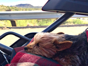
SS GusThis is my co-pilot – Gus.  He loves being “in the wind” so I could hardly leave him behind for this trip.  He was thrilled to go and people were amazed at how good a dog he is.  He’s ten years old but still has plenty of spring in his step.  I used to laugh at old people that took their little dog with them everywhere they went.   Now – that’s me…..
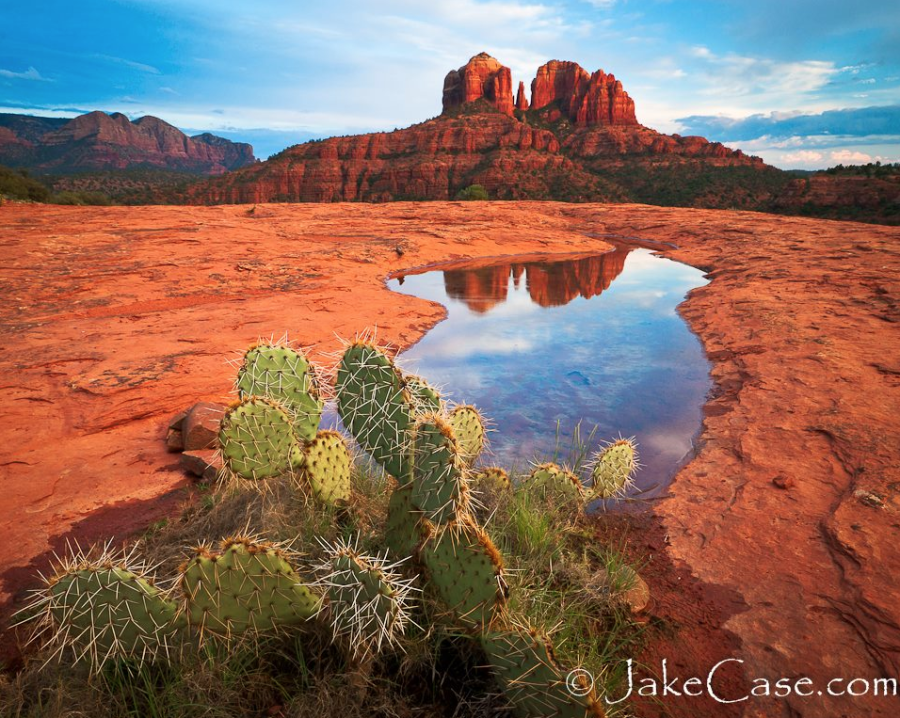
SS CactusHaving grown up here, the Arizona desert will always seem like home to me.  I’m no fan of the heat that goes with it but when it’s not scorching hot, it’s one of my favorite places.  These pictures were taken just a few miles from my parent’s house near Lake Pleasant.

SS Cactus2The climb from Wickenburg (just over 2,000 ft) to Yarnell (amost 5,000 ft) happens on a road that I was really looking forward to.  The turns run from long sweepers to tight radius 10 mph head snappers.  I had planned to do my best Rodney Road Racer and put this thing to the test; then I got “the look” from the passenger seat.  That look said, “You know I’ve puked before when you’ve been playing Indy car – remember…”  So, I backed off a little – still plenty of fun and no clean-up required.  No pictures either.  I took my GoPro and was trying to shoot a video but the lighting was mostly into the sun so it didn’t really work.
SS Mingus
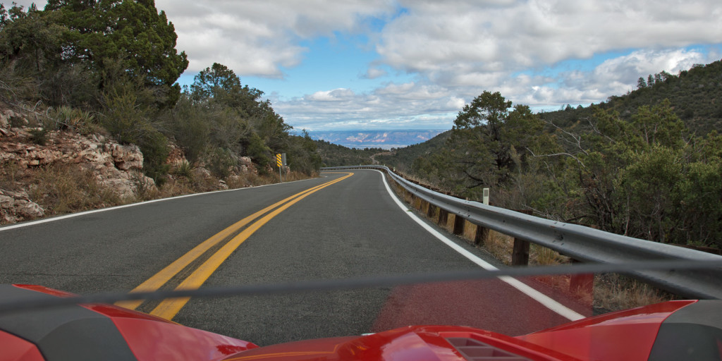
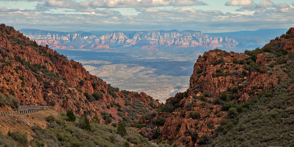
Just north of Prescott (rhymes with biscuit), this is the road over Mingus Mountain; another fun road if you like twists and turns.  I had the road mostly to myself this particular morning and the dog wasn’t looking too green so I stepped things up a little.  The view of the Verde Valley below is something I always look forward to when I’m on this road.
SS Mingus3

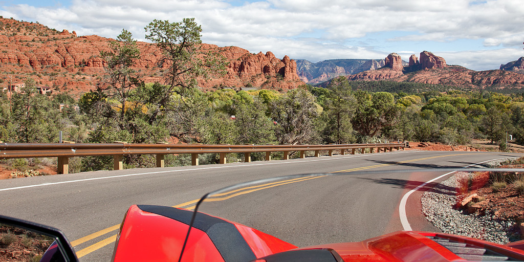
Sedona – lies just across the Verde Valley.  Sedona’s main attraction is its array of red sandstone formations. The formations appear to glow in brilliant orange and red when illuminated by the rising or setting sun.  Sedona has got to be the second most photographed place in Arizona – Grand Canyon being #1.  Founded in 1902, it was named after the wife of the city’s first postmaster, you ever know anyone named Sedona?
SS Sedona3
The first documented human presence in Sedona area dates to between 11,500 to 9000 B.C. – that’s back in the Stone Age, LITERALLY.  In 1995, a Clovis point was discovered which revealed the presence of the Paleo-Indians.  Since then, there have been several different settlements in the area, many of the inhabitants making their homes in the holes on the vertical faces of the rocks.  These cliff dwellings are mostly protected sites now but you can visit many of them.  Montezuma Castle is one of the most famous.
SS Sedona2
The deep red color for which Sedona is famous is due to the presence of hematite (iron oxide, otherwise known as rust) that stains the sandstone.  The steepness of the terrain is due to the fact that the top layers of the strata are basalt and limestone, which are harder than the underlying sandstone. Water running off the edge of the escarpment eats away at the lower layers.  Eventually enough soft material is weathered away that it undercuts the cap layer making voids in the face of the cliff providing a very nice place for you to build your cliff dwelling – if you were looking for a build site 10,000 years ago.
SS Sedona

Back when I was a child, my first experience with a slingshot was exhilarating.  I’m sure I had a huge smile on my face the whole time.  My latest Slingshot experience was at least as fun and exciting.  It was unlike any you can have in a modern car or, on any bike.  Looking forward to my next chance to take it for a ride.  Thanks Dad!!

jake-case-sedonaI will leave you with this image taken near Sedona.  If you would like to see more of the state of Arizona and enjoy breath taking photography, you’ll love Arizona Highways.

September – Ireland

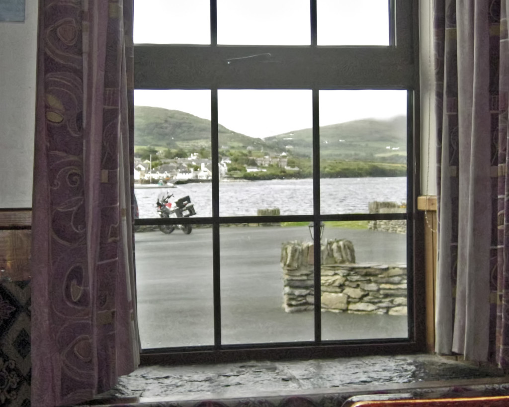
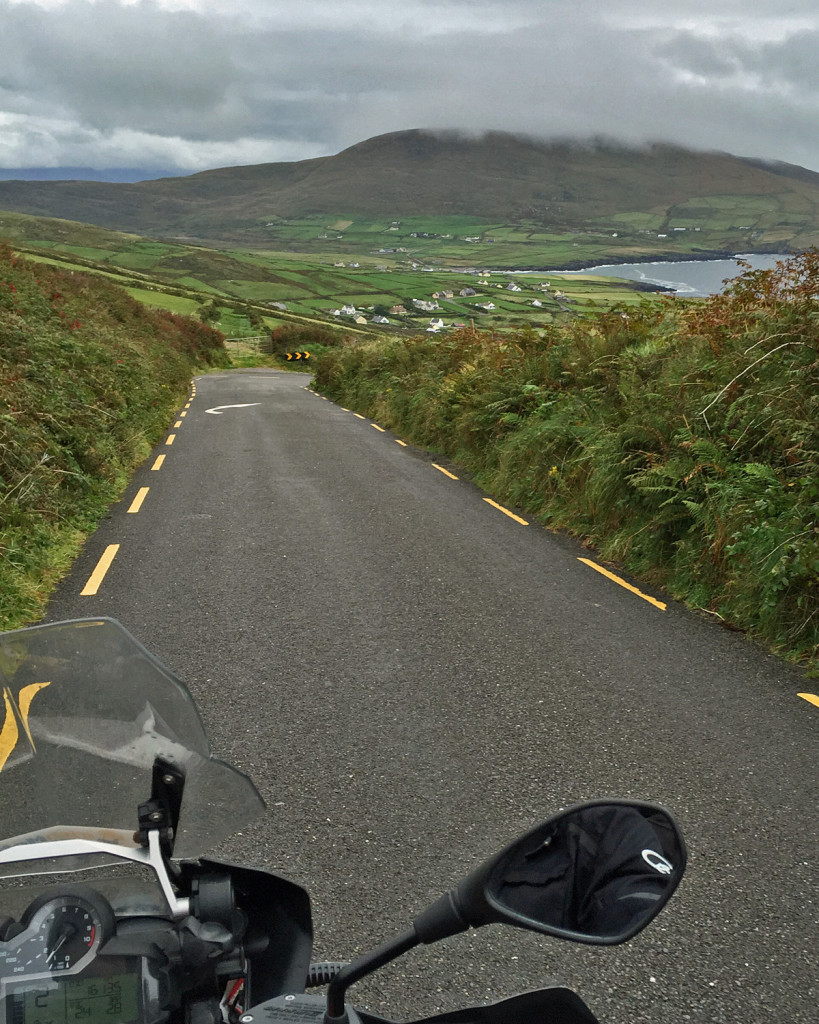
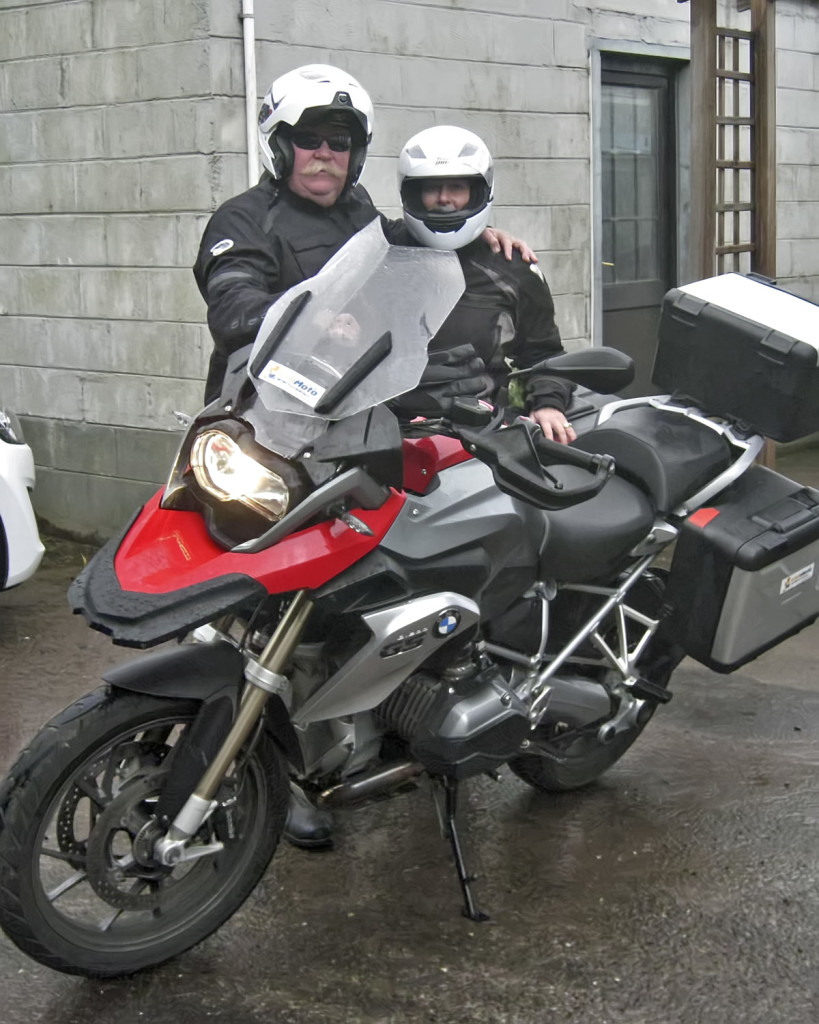
Bike1Finding a motorcycle to rent (hire) in Ireland is no easy task – insurance over there is horribly expensive.  Therefore – the three places in the whole country that rent bikes are all booked up.  I got very lucky (Luck of the Irish) and was able to reserve a BMW 1200GS for one day.  It was raining when we got there and rain was forecast for most of the day.  We were told that we were under no obligation to go but I knew that it was now or never.  Really, there was no decision to make – we were going regardless.

Let the adventure begin!!

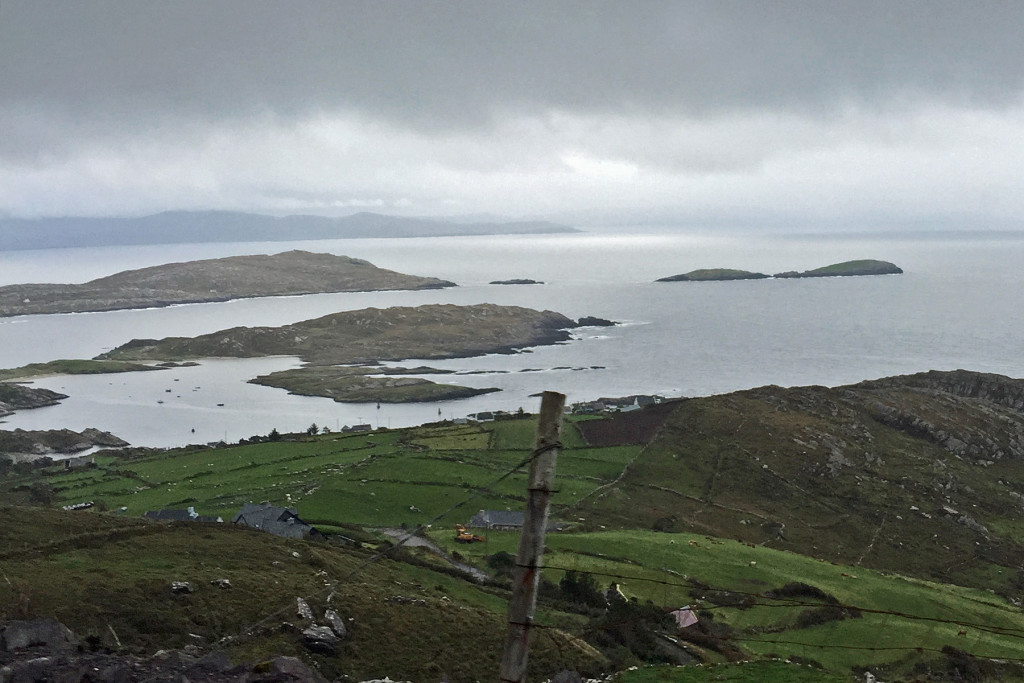
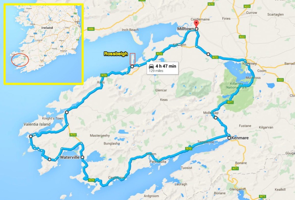
Ireland Rides1.jpgOur day would be spent riding around The Ring of Kerry.  It is a scenic ride around the Iveragh Peninsula in southwest Ireland’s County Kerry.  The route takes you though rugged coastal landscapes and rural seaside villages.  There are plenty of places to stop and historical sights to see along the way but we didn’t do too much of that since it was cold (high temp that day was 63°) and raining most of the time.  By the time we got done with lunch/dinner in Kenmare, we barely got the bike back in time.  (For those of you that follow Robin on Facebook, Rossbeigh is where she went on her horseback ride.)Bike6Bike12
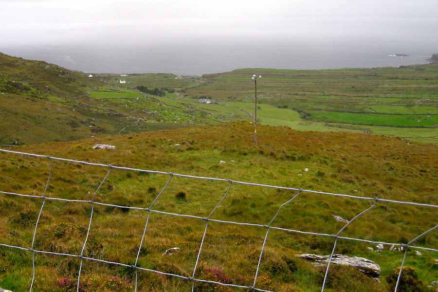
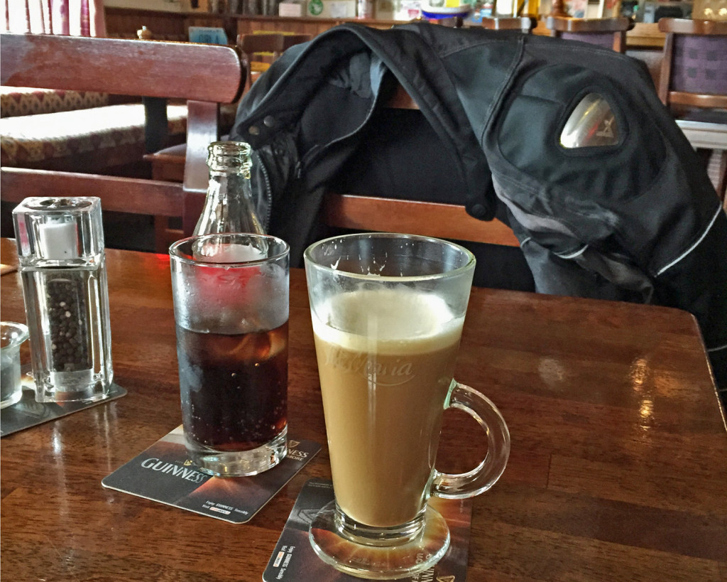
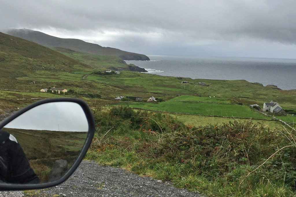
Despite the weather, the Ireland countryside was spectacular and when it was safe to do so, we stopped to take a couple pictures.  By the time we got to Cahersiveen (45 min), it was time to get out of our wet jackets, have a beverage and try to dry out and warm up.   Baileys and the hottest coffee available for my co-pilot, and a good old Coke for me.  The bike is patiently waiting out in the rain for us to get back on.Bike2Bike3I wanted to take the ferry across this little bay but I left all the money at home (too excited I guess).  We found out that it was only €3.00 for both of us and the bike, I actually had that in pocket change so we hopped on the ferry for the 5 minute ride across to Valentia Island.  Valentia was the eastern terminus of the first commercially viable transatlantic telegraph cable. Transatlantic telegraph cables operated from Valentia Island for one hundred years, ending with Western Union International terminating operations in 1966.Bike4-1
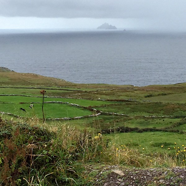
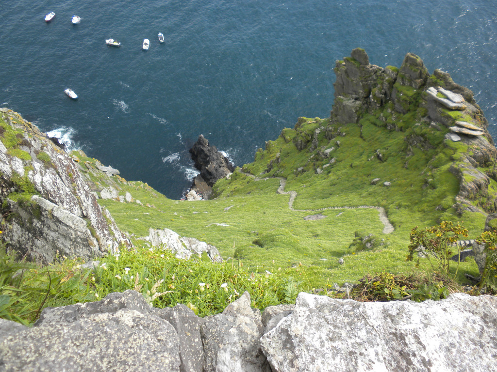
Bike15The weather broke just enough (and at the perfect time) for us to get a view of Skellig Michael, a rocky island seven miles offshore.  Skellig Michael is famous for an abandoned 7th-century Christian monastery; can you imagine, back in the 800’s living on a rock seven miles offshore?  Today, it is a tourist attraction.  Several of the Star Wars movies have scenes that were filmed on the island.  Weather permitting; over 100 people take the 45 minute boat ride out to see it.  Robin thought it would be a fun day trip until she found out that the only way to get to the monastery was up these 600 steps (with no handrail) – then you have to walk back down.  At that point, wild horses could not have dragged her…Bike18
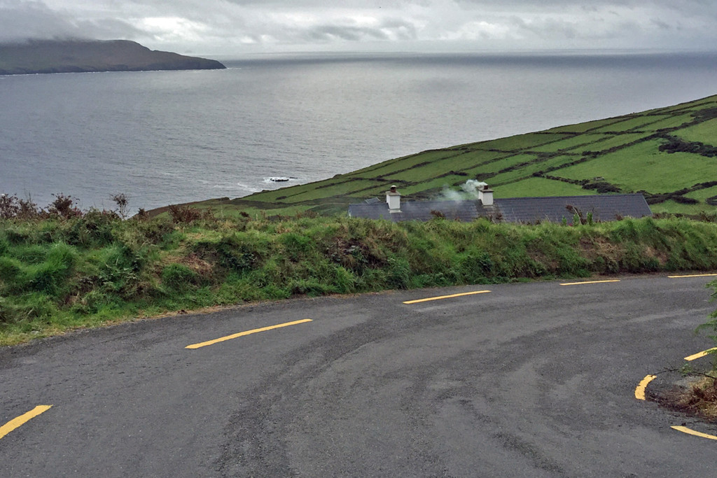
Peat is still burned in Ireland and the smoke from a “turf fire” is distinctly different from that of a wood fire.  I’m told that if you go to Ireland in the cooler months, many of the pubs burn turf fires in their fireplaces and that seats near the hearth are the most popular.  This cottage was burning peat – that smell (love it or hate it) is 100% Ireland, it must have mystical elements or something.  On a motorcycle, you are actually “there” wherever “there” might be, as opposed to being inside a vehicle, where your sensory experience is mostly limited to sight.  It is SO much better on a bike, even when the elements make it a challenge – Just one of the reasons I love to ride…Bike5Bike9Bike7
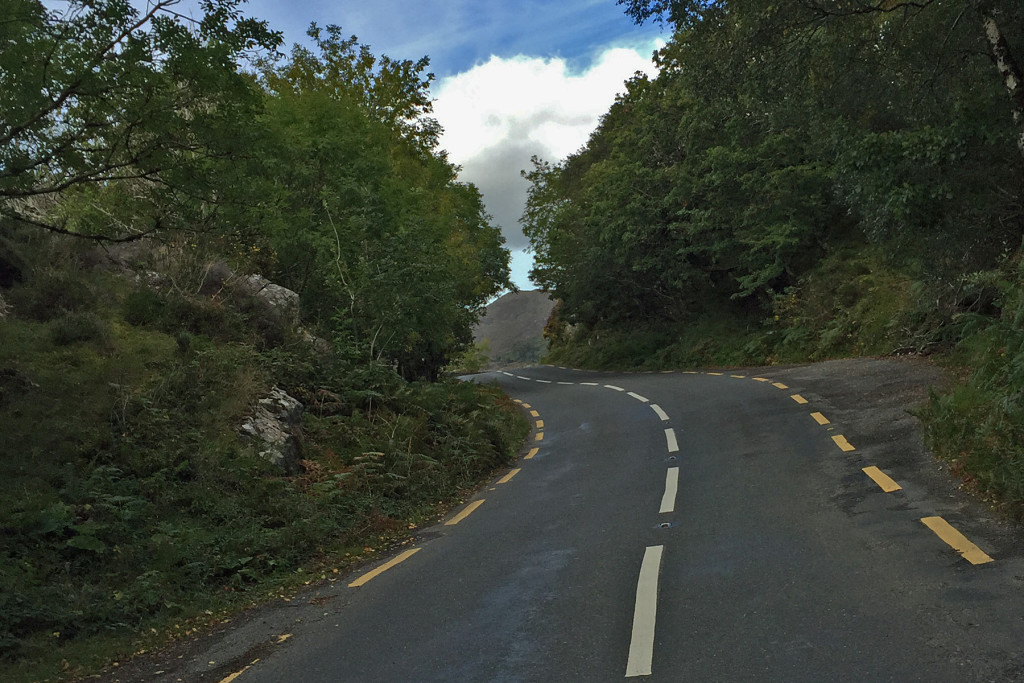
After a brief stop in Kenmare, it was time to leave the coast.  We headed up into the Killarney National Forest.  The roads were narrow and twisty but in my book, that’s cause for celebration.  The blue sky was a welcome sight and we weren’t getting wet anymore.
Bike8Muckross Abbey 001L
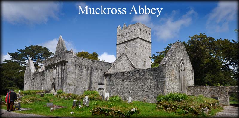
One of the attractions in the Killarney National Forest is the Muckross Abbey.  It was established in 1448 as a as a Franciscan friary and has a violent and interesting history.  Alas, we were out of time so we’ll add that to the list for our next visit to the Emerald Isle.

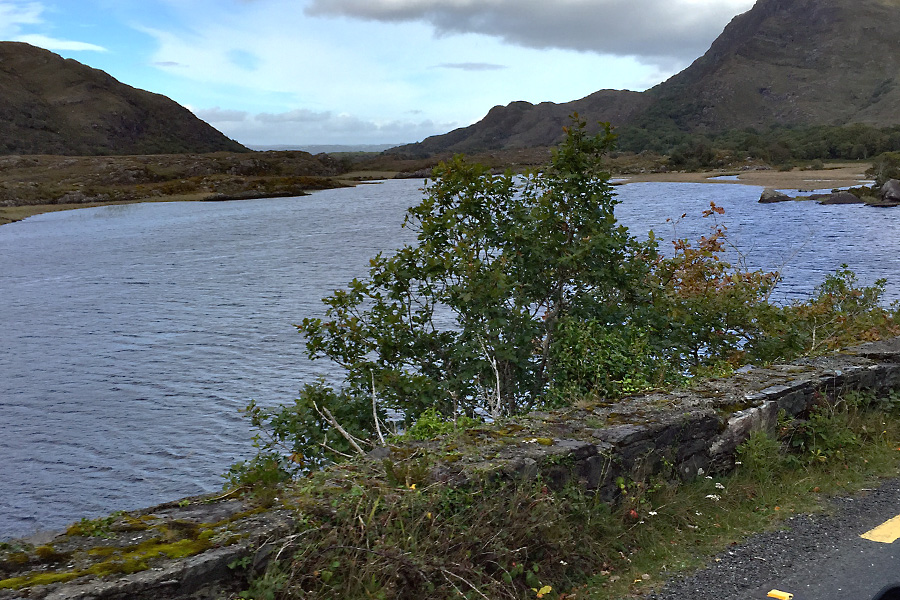
Muckross Lake, Killarney National Forest, County Kerrry, Ireland.

Muckross Lake, Killarney National Forest, County Kerry, Ireland.

I was excited to have a chance to ride a motorcycle in Ireland and it was everything I thought it would be.  I didn’t think it would take all day to ride 140 miles but I would jump at the chance to do it again.  The BMW 1200 GS Adventure was more like riding a dirt bike than a low riding Harley Davidson  The roads in Ireland can be very bumpy though, and with over 8 inches of suspension travel – the 1200 GS Adventure is perfect for the conditions.  It would be a blast to come over for three or four weeks and tour the island on a bike.  Maybe someday…..                   See the rest of the Ireland adventure here
 

August – Wrightwood

August - Wrightwood

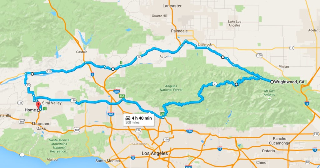
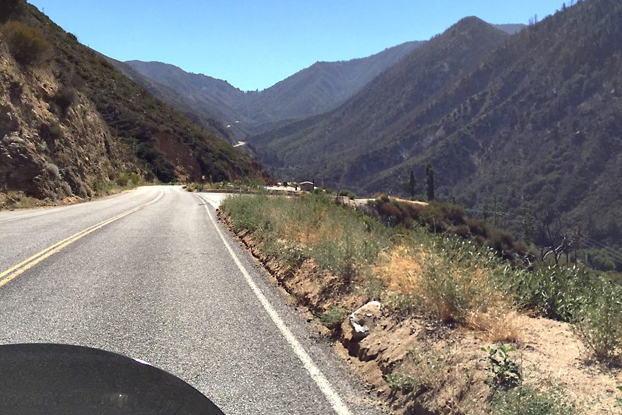
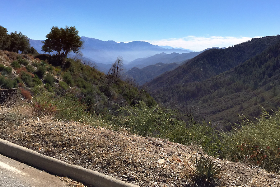
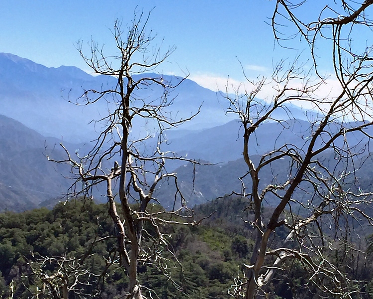
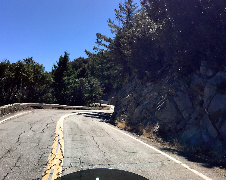
The Angeles Crest Hwy from La Cañada to Wrightwood has always been one of my favorite rides.  On the weekends it can get pretty busy but during the week you’ve got the road mostly to yourself.  After several miles with the crazy folks on the freeway, the temperature was rising and we couldn’t wait to get up onto the nearly vacant and cooler roads in the Angeles National Forest.  It’s not long before the smell of pine trees makes you forget all about the traffic and heat you left behind.Wrightwood 1
Wrightwood 3
Wrightwood 8

Aug. 26, 2009, the Station Fire was started by an arsonist in the Angeles National Forest, north of Los Angeles.  It is still the largest fire in Los Angeles County’s recorded history, burning a total of 161,189 acres – or nearly 252 square miles.  The forest actually needs the fire though and I’m happy to report that it is recovering quite well.

Wrightwood 4

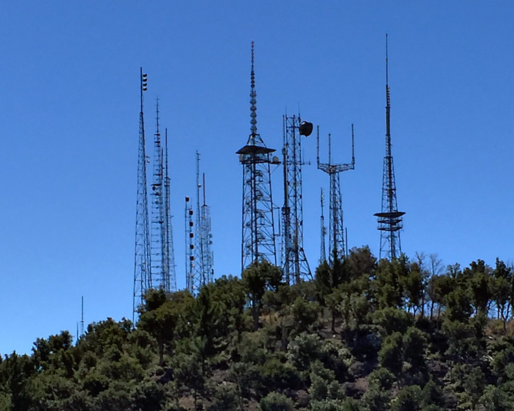
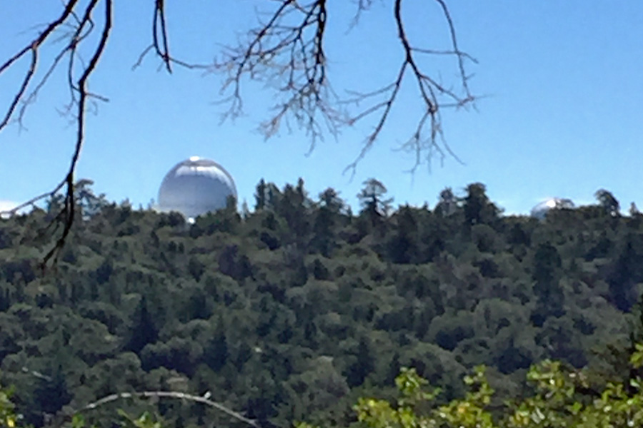
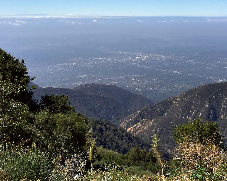
I always like going up to the top of Mt. Willson for the view of the L.A. basin.  I guess it has been quite a while since I was up here because these radio and TV towers didn’t look anything like this the last time.  I wonder how often technology improves enough that they come up and replace the towers and antennas.  Another occupant up here is the Mt. Willson Observatory – we didn’t get that close to the observatory.

Wrightwood 5Wrightwood 6

I've never been able to get a clear picture of the L.A. basin, it's much more impressive in person.

I’ve never been able to get a clear picture of the L.A. basin, it’s much more impressive in person.

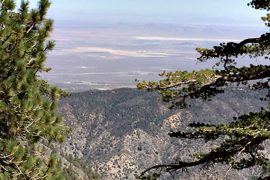
Farther down the road, you get a good view of the Antelope Valley. Edwards AFB in the distance.

Farther down the road, you get a good view of the Antelope Valley. Edwards AFB in the distance.

Newcomb’s Ranch is a roadhouse at 5,340 feet and the only private property along the Angeles Crest Hwy.  The Newcomb family, who also created the Mount Waterman ski area, built the roadhouse in 1939. The roadhouse has served as a restaurant, hotel, general store, gas station, and as a brothel and is a good spot to stretch your legs and get a beverage.  Most people turn around here, but we are pressing on to Wrightwood.

They have a fairly large parking lot here and on the weekends it is PACKED!!

They have a fairly large parking lot here and on the weekends it is PACKED!!

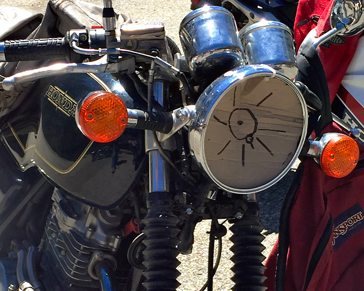
Guess this guy never rides at night....

Guess this guy never rides at night….

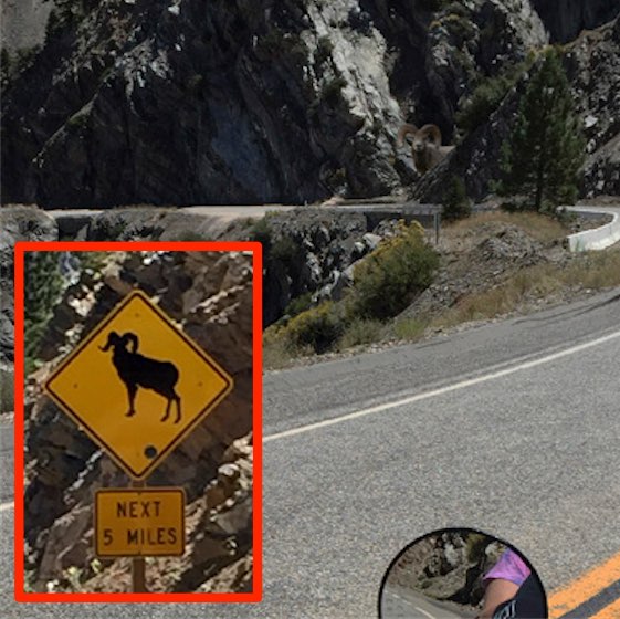
We talked to the rider of that bike and he said it was an encounter with a deer that broke the headlight.  I was skeptical, but there are signs that warn you about desert bighorn sheep being in the area.  I couldn’t believe it when we actually saw one and got a picture before it bounded off.  THAT doesn’t happen every day.Wrightwood 20

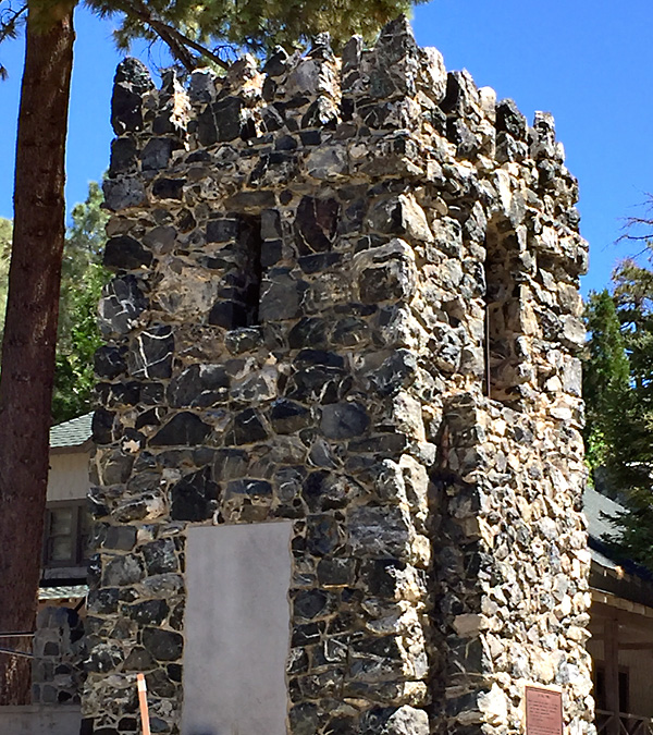
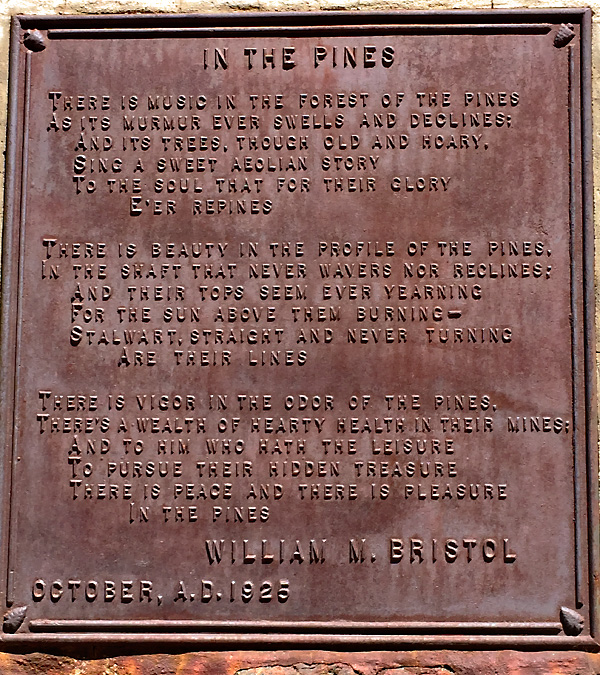
Greeting travelers to Wrightwood is this monument.  It was built by entrepreneur William M. Bristol back when this road was part of Route 66.  Mr. Bristol’s love of the mountains is reflected in this poem he wrote that is attached to the “castle tower”.Wrightwood 13Wrightwood 12

I’ve actually forgotten over the years how nice it is up here in the Angeles National Forest.  We vowed to come back up with a picnic basket in the very near future.  That chicken salad sandwich always tastes so much better up in the fresh mountain air.

July – Boat Ride

We were nowhere near the motorcycles for the entire month of July.  But don’t feel sorry for us, we were still riding around – just on a boat instead of a motorcycle.  Still outside, still “in the wind.”  It’s a camping trip, a reunion with our friends, and a chance to check in with friends and family along the way.  The boat looks like this one – just a little older….Hardtop Trophy

Back when I was working, we made the 1,700 mile trip to Scotia Bay near Port Hardy, British Columbia in 3 days – now that I’m retired, we take our time and it takes about a week in each direction.

"The Rig" -- Ford F450 and our, Keystone Montana fifth wheel trailer (a 40 footer)

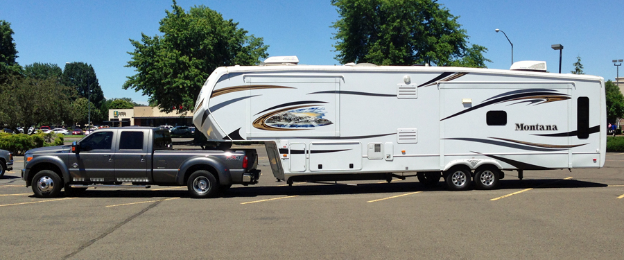
“The Rig” — Ford F450 and our, Keystone Montana fifth wheel trailer (a 40 footer)

Truck stops are where you get fuel and you have to wait in line with the big-rigs.  If you want to stop somewhere, better check Google Maps for a big parking lot.  We mostly just go from campground to campground and do any running around after we park the trailer.

1 Island copy

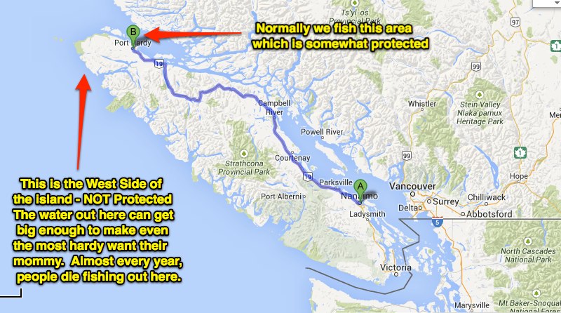
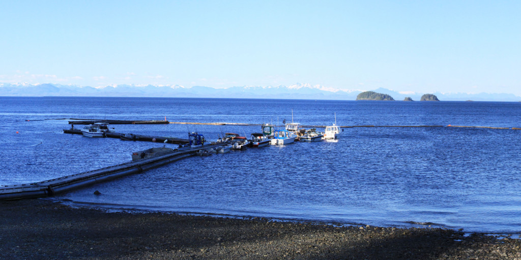
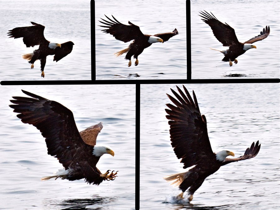
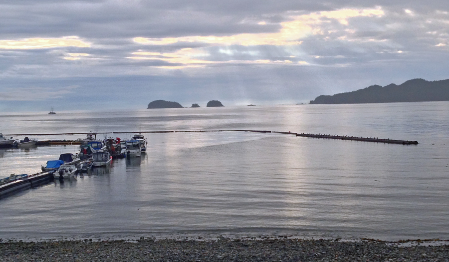
When we get into Canada, we take a ferry from just south of the city of Vancouver over to Vancouver Island then 250 miles up the island to the end of the road (literally).  Scotia Bay has been an annual trek for family and friends for nearly 20 years.  My parents used to spend four months there, trading the stifling heat of the Phoenix, Arizona summer for beautiful scenery, cool weather, and awesome fishing – a very nice break for sure.Scotia BayThis is the view of the bay that we have out the back window of the fifth wheel (or the front window of a motor home).  Cruise ships go by every day on their way back and forth to Alaska and there are Bald Eagles all over the place.  A couple years ago I spent some little time working on getting this five shot sequence.  I had some pretty good luck that day…Eagles
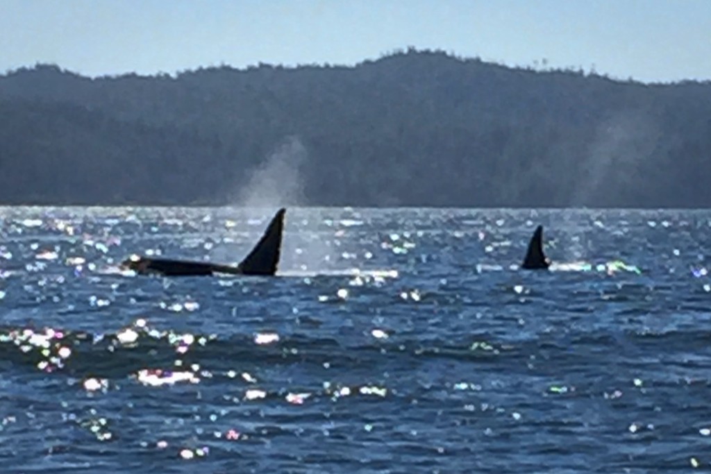
Bald eagles make a very distinct sound and whenever I hear it I’m reminded of my time up here in Canada where they are prolific.  There is a pair that nests in a tree close enough to the campground that we keep track of the family with binoculars.Killer WhalesThere are also Killer Whales (shot with an iPhone camera from the boat), Minke Whales, Humpback Whales, and Dahl Porpoise that zip around your boat from time to time and look like a cross between a killer whale and a dolphin.  Oh yea, and large Sea Lions.

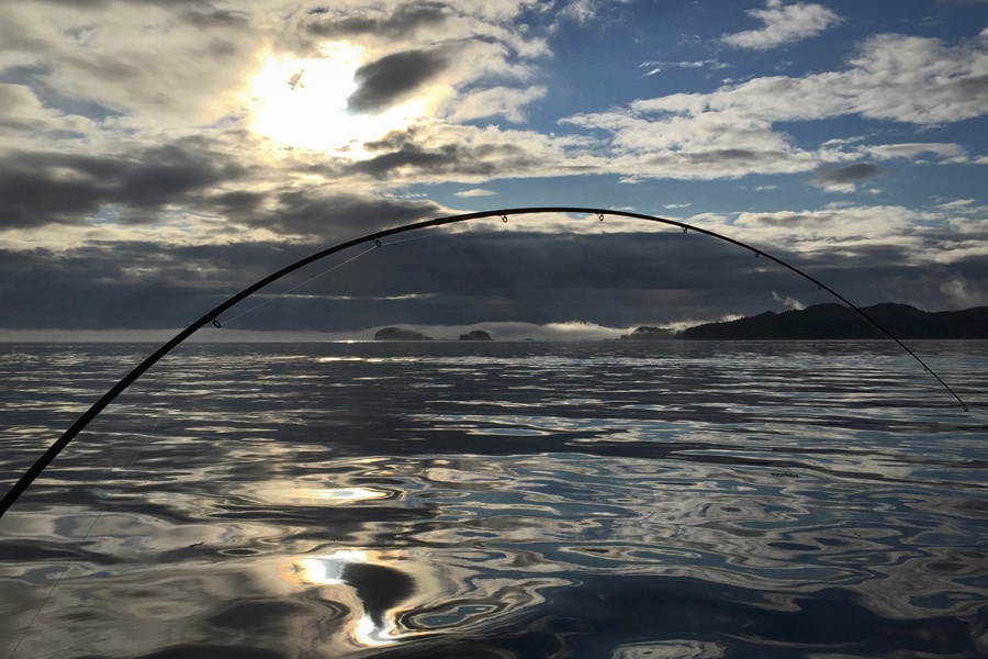
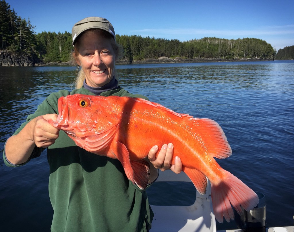
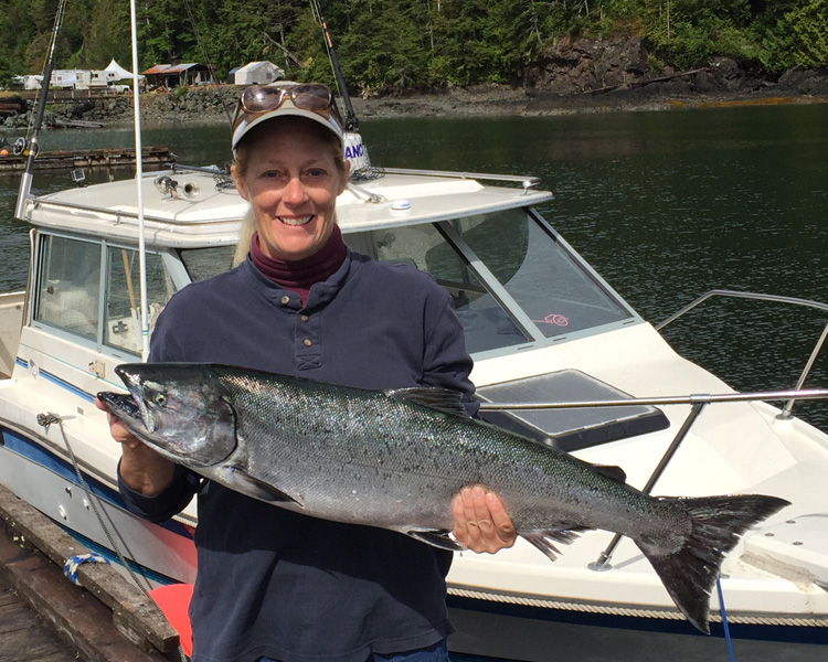
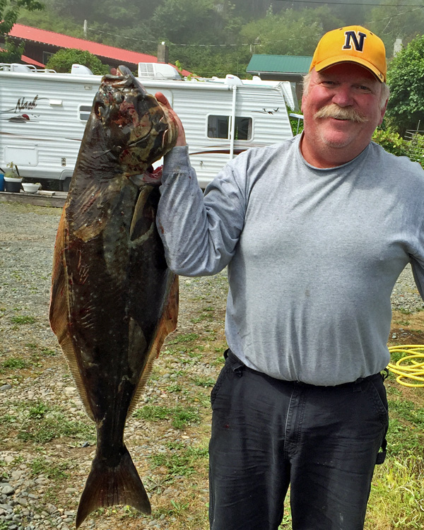
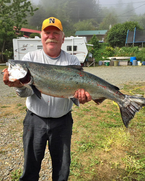
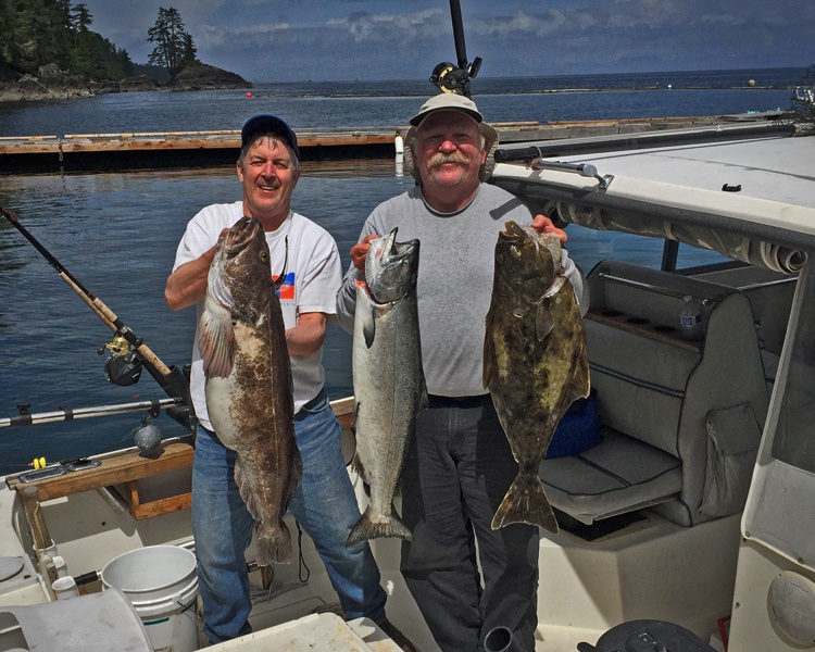
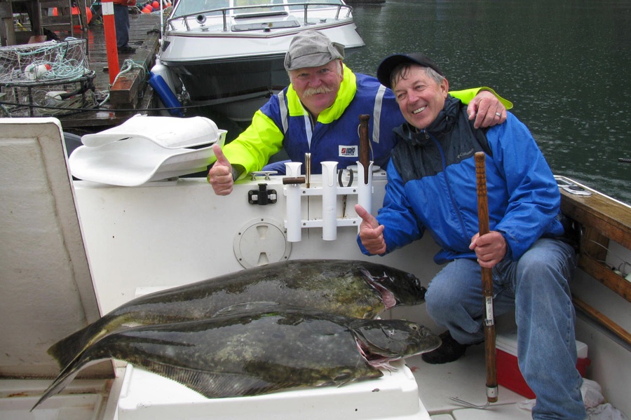
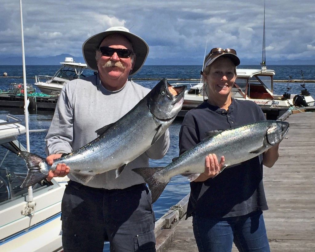
But we mostly come up for the fishing.  When we got here the boat needed a new starter.  Replacing the starter on a Chevy small block when it’s bolted to the bottom of a boat is difficult to say the least.  The smaller and more flexible you are the better – I’m neither of those.  I did get it done but it took a couple days – luckily they had the starter in stock or it would have been at least another week – we’ve done that before….  After replacing the starter, there were no more mechanical issues with the boat.  Time to go fishing…SunriseSunrise fishing, just in front of the campground – fog over the Masterman Islands.SE Yellow EyeFirst fish of the season on our first day out, was this nice Yellow Eye (red snapper).  It proved to be an omen of sorts – the fishing this year was very good.SE Spring1Not the same day but this is a medium sized Chinook Salmon, about 17 lbs.LY Halibut1Robin isn’t the only one that can catch a fish – this is a 25 pound Halibut.LY Spring1Another Chinook 20# – up here they call ’em Springs, elsewhere they are King Salmon.LY Ned1Meet Ned McMath, my new partner.  Ned wanted to partner with someone since it’s very expensive up here to go out with a guide and renting a boat is difficult.  These are three of the fish we caught one morning, there are more fish in the box.  Left to right Ling Cod, Coho Salmon, and Halibut.  If every day was like this, we would have our licenses full in less than a week.  This year there was never a day when we didn’t catch fish. When it was all said and done, Ned and I both had nearly 150 lbs of fillets to take home.Halibut BoatAnd the lucky fishermen went out for an hour and a half on this particular rainy morning and brought back a 50# and a 70# Halibut.

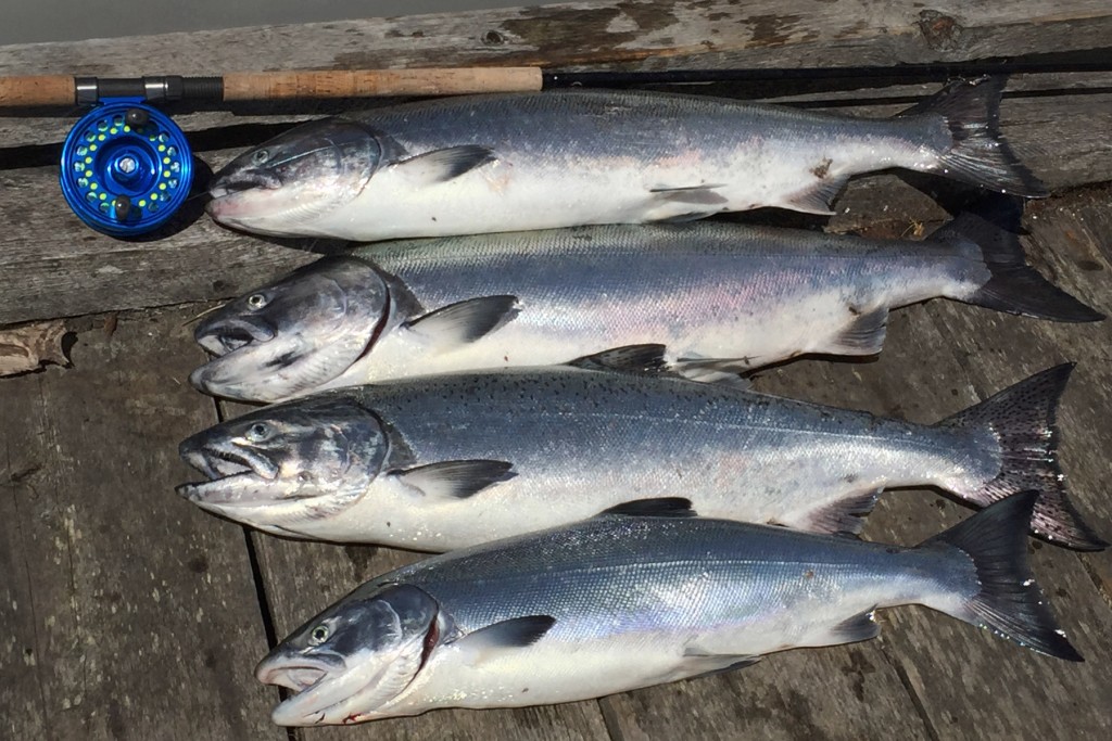
Okay, just a couple more fishing pix. Robin and I went out on our last day looking for some more of those Halibut that Ned & I caught but they weren’t interested.  So, we headed for salmon country and did okay.  Three Chinooks and a nice Coho to break in my new reel and leave us with even more great memories from Scotia (pronounced sko-sha) Bay.New ReelLast Day
So, that’s why we go, and what we do while we’re there.  If you’re interested in making the trip up let us know and we’ll make sure you have the best accommodations and get to spend plenty of time out on the water – you might even catch a fish…….3 crepuscular copy

..

May/June – Ghost Riders Tavern

3 Flowers

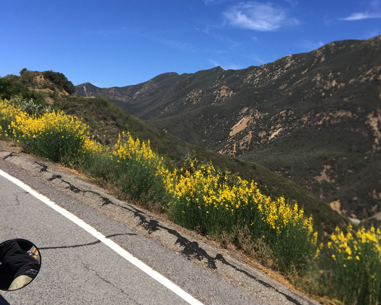
Does anyone know what these yellow flowers are? They grow up into big bushes….

May and June turned out to be very busy months for both of us and although we had several dates picked for the May bike ride, something else always came up. Toward the end of May I decided to just make one ride for May and June; and since our annual trek up to Canada was to begin on June 19th, it was going to have to happen pretty early in the month. I read somewhere that the Ghost Riders Tavern in Los Alamos was going to be shut down – I had a destination.

We headed out early, first stop Ojai for breakfast. This back road to Ojai is one that I know well; Moorpark, Grimes Canyon, South Mountain Rd., Santa Paula, Hwy 150 into Ojai. It’s a wonderful ride that takes you through the orange orchards outside 1 Don LalosFillmore, historic Santa Paula, and the foothills southeast of Ojai. It takes about an hour which is about the right amount of time for your appetite to get to the point that you really appreciate breakfast. Robin had her nose wrinkled up a little when I told her that we would be eating at Don Lalo’s but changed her tune 180 degrees after a couple bites of her breakfast burrito. Don Lalo’s is a little family run Mexican food place on W. El Roblar that is worth seeking out. If you are a menudo fan make sure you go on the weekend; I’ll be surprised if you’ve had better. Everything I’ve tried is very good – today it was the Chilaquiles.

5 Peak

From the peak of the Maricopa Hwy looking north

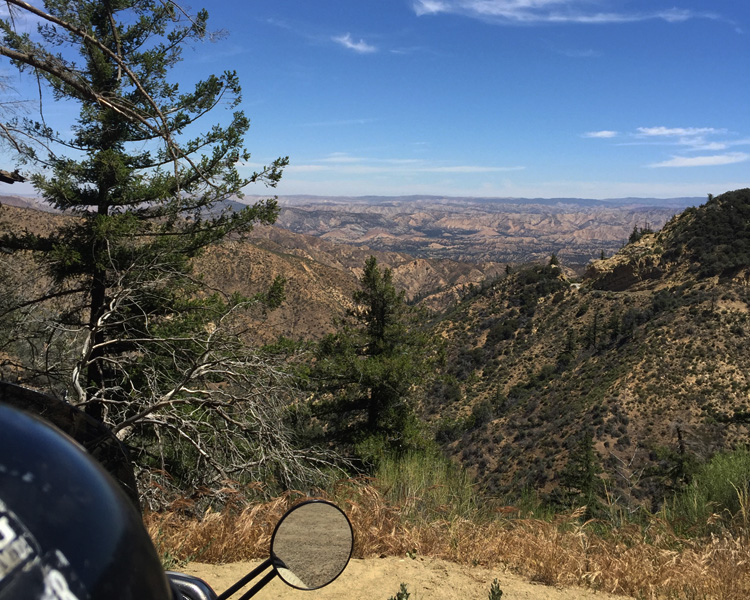
Stuffed to the gills – we headed north on Hwy 33 into the Los Padres National Forest. I was a little worried that it might be really cold at the summit but it wasn’t bad at all. It’s a great road, especially if you turn right at Lockwood Valley Road. However if you go all the way to the end of the Maricopa Highway, either way you turn on Hwy 166 will be a yawner for several miles. Our turn was to the left toward Cuyama. I looked to see if I could find a translation for Cuyama but found none what I did find is that it’s at the base of the Callente Range which was fitting. It was HOT in early June – I would NOT want to be back here in August.

Most people would continue to the 101 but at the earliest opportunity, we took the road less traveled. This was another one of those stretches of asphalt with no center stripe for several miles. So twisty and with such steep drop offs that going fast is out of the question; but very peaceful and relaxing. We did have to get onto the 101 for a few miles go get to Los Alamos. For those of you that have never been there, Los Alamos is a very small town. Los Alamos was a stagecoach stop from 1861 and started to grow just like everything around it until oil was discovered just north in Orcutt and just south in Lompoc (POKE not pock). As those towns grew, Los Alamos began to fade. There is a Post Office but you have to go get your mail as there is no local delivery.

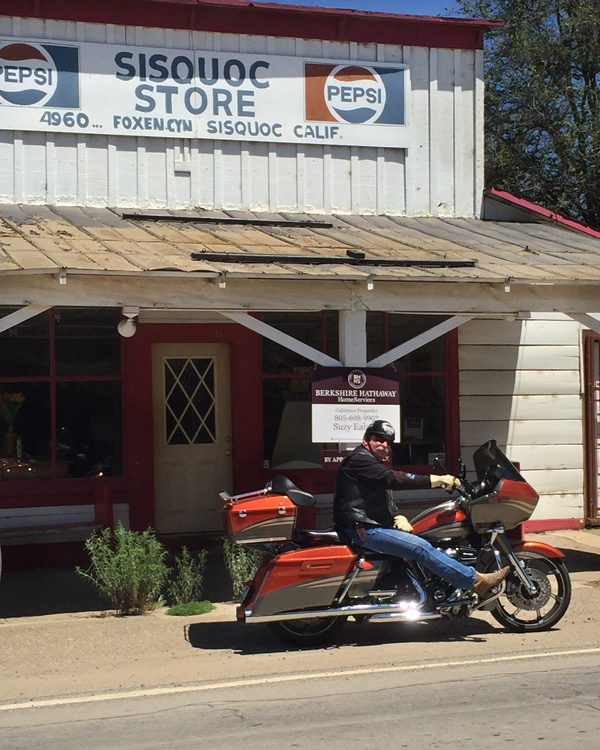
8 Sisouoc

Sisquoc is little more than an intersection in the road.

One interesting bit of history – The hills above Rancho Los Alamos served as a hideout for bandito, Salomon Pico, whose escapades were popularized by the character “Zorro”. For 3 years, Pico and his band of highwaymen robbed southbound miners on route from the Los Alamos area with their gold and silver. He was taking revenge for the death of his wife which he blamed on the gold rush created in 1848 when gold was found at Sutter’s Mill. On the run in 1851 Pico moved to Los Angels county. He was still involved in nefarious activity and fled into Mexico to avoid arrest two years later.

images

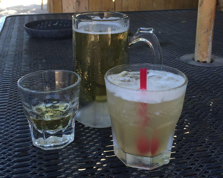
9 Refreshments

Refreshments – the Cowboy Colada was pretty good…..
When we located Ghost Riders Tavern I have to admit I was a bit surprised. It is a corner store that has been converted into a bar; the entire front of the bar is a glass picture window.  We sat outside in the shade of the umbrellas while we enjoyed a cocktail from the soon to be closed down bar. The story I heard is that the owner chose to restock his bar from 30 racks of beer he didn’t buy from an approved distributor.  The good folks at the ABC (Alcoholic Beverage Control) don’t think that shit is funny. That combined with various other violations led the ABC to not approve the renewal of Ghost Riders liquor license. Today is Thursday, and after over 10 years in operation, tomorrow will be their last day. Many of the locals are none too happy about it but they will have to find another place to drink & socialize. One of the guys told me that they were just going to get a keg and move it around to different people’s houses. Someone else said that the bar would be sold and that the new owner was going to keep the name. I’ll be sure to stop back in a year or so and see what actually becomes of Ghost Riders Tavern.

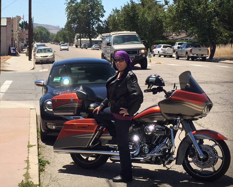
11 Bobbi

Parked in front of Ghost Riders; downtown Los Alamos in the background.

The River Run – April 2015

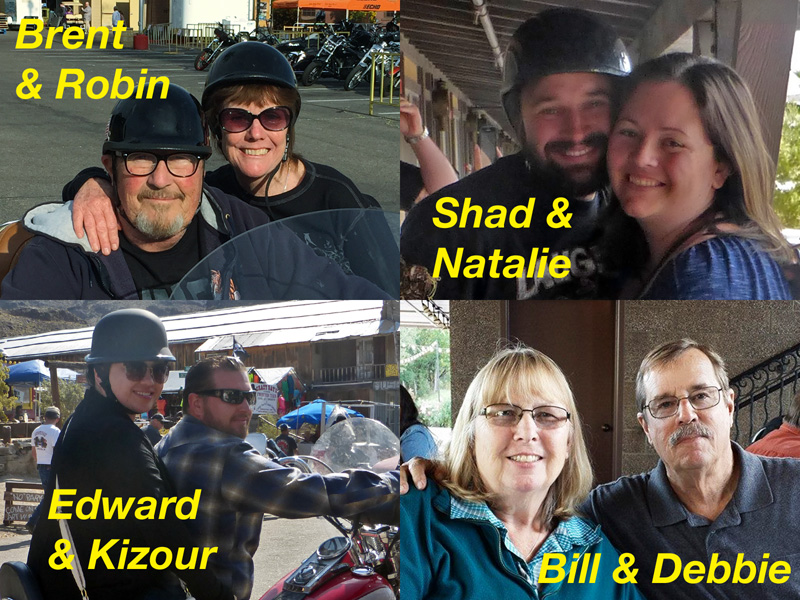
In the far southern tip of Nevada, right on the Colorado River, is the town of Laughlin.  Around the last week in April over 75,000 motorcycle riders descend on this town for the annual River Run.  It’s the biggest motorcycle rally in the Western United States.  I started going every year with my extended family back in 2000 after I bought my first Harley; Robin and I have been 5 or 6 times over the years.  I haven’t been recently because, as you know – around this time of year I’m usually far away on some cross country motorcycle adventure.  The plan this year is to put as much of the crew back together as we can scratch up and head for Laughlin just like the old days.

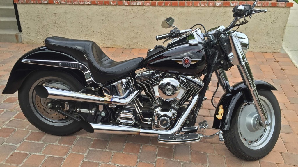
We found out about a month ago that I would not be “packing” on this trip.  Robin went down to San Diego to help out with the grand babies.  While I’d much rather have my wife with me, the fact that I’m going solo means that I can take the Fat Boy.  Robin has ridden many miles on the back seat of this bike but it’s not very comfortable for her and there is absolutely NO storage so it doesn’t get hauled out of the garage very often.  However, it is my favorite bike – it really feels like an extension of me when I’m riding it.

04 FatBoy

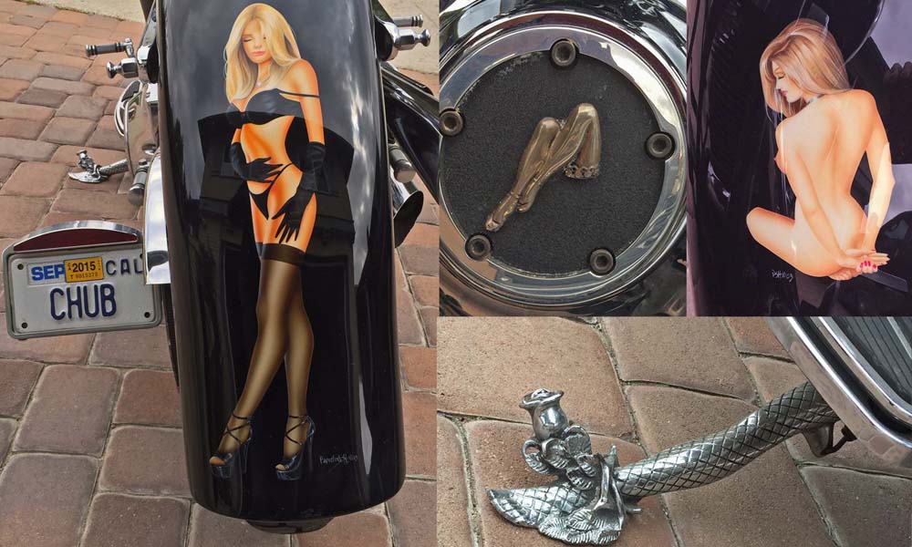
Back Fender, Points Cover, Front Fender & Kick Stand

Back Fender, Points Cover, Front Fender & Kick Stand

Waking my Steed – When I decided that I’d be riding the Fat Boy I discovered that the battery was dead and would not take a charge.  New battery – no problem.  The last time I fired it up was a couple months ago and it wasn’t running so good.  Okay, I’d change the engine, primary drive and transmission oil then start the tune-up.  I started her up just to get the oil warm enough to change and the missing and coughing I’d heard last time was gone.  Smiling, I went into the house to change my grease clothes for riding clothes.  When I got back outside, my black beauty stood, chrome pipes snorting, and chomping at the bit, ready to be ridden; I swear this bike has a spirit of its own.  It didn’t take long to get back that feeling of man and machine being one and the 100 or so miles went by quickly.  I changed the oil(s) when I got home and motorcycle and rider are Happy Happy.

The ride starts with the crew gathering for dinner in the Riverside area on Tuesday night.  After a night of catching up and enjoying homemade lasagna (this time around it was pizza) we are up in time to meet for breakfast at Gramma’s Country Kitchen in Banning.

I highly recommend the Chilaquiles but everything here is very good.

I highly recommend the Chilaquiles but everything here is very good.

04 Amboy RepairFrom Banning it’s a brief stint on I-10 then off to 29 Palms then north to Amboy.  Not much at Amboy but one gas station that if nothing else is a good place to stop to stretch your legs and let everyone else catch up.  There is some overpriced and no telling how old gasoline for those that REALLY need it.  This time through one of the bikes ended up down in the dirt.  Everyone was okay and with a bit of fancy language, the bike was back on the road with most of the parts working as intended.

The road we like to take out of Amboy was closed (washed out I believe) so we ended up on I-40 for about 20 miles to Goffs Road.  Another gas station but this one isn’t out in the middle of nowhere so we got a splash of fuel for the run into town.  This is the most fun leg of the ride – speed is mostly up to you and there are plenty of turns and dips to keep your adrenalin pumping.  After successfully navigating the asphalt we checked into the Pioneer Hotel.  We always stay here because there’s bike parking right outside your room & a balcony where you can hang out and still keep an eye on some of the activities and the participants – if you know what I mean….

Many of you may have heard about the dust up that the Hells Angles and Mongols had on the Harrah’s Casino floor back in 2002.  That little mess caused law enforcement to quadruple (at least) their presence at this event and their vice like grip on the streets and outside activities has just about taken all of the “fun” out of the River Run.  There is no cruising the main drag, you can’t even stop walking if you’re on the sidewalks AND enticing or being any part of “this” activity will get you arrested before it even starts.

So – what we usually do these days is go on a little ride after breakfast (couple or three hundred miles) and get back in time for dinner.  The first day we headed out on a Route 66 ride that was to take us down to Needles then up to Seligman, Arizona.  We got as far as Kingman before the BLACK skies turned us back.  We didn’t miss all the weather though, on the way back we rode through some heavy rain & hail that was thick enough that there was slush on the side of the road – Ouch!!  We didn’t pull over or slow down for it though.

Grab a fist full of throttle and grit your teeth - this is gonna hurt!!

Grab a fist full of throttle and grit your teeth – this is gonna hurt!!

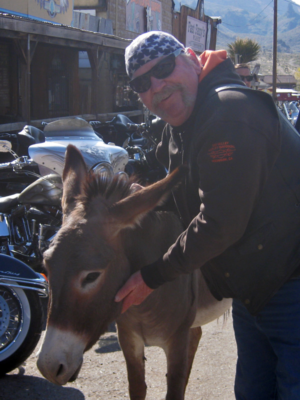
The following day we all headed out for an early breakfast in Oatman, AZ.  A mining town back in the day, Oatman today is mostly a tourist stop on Route 66.  Unique to Oatman are the wild burros, descendants of pack animals turned loose by prospectors, that freely roam the town.  They are tame but aren’t too interested in being messed with.

Dos Culos

Dos Culos

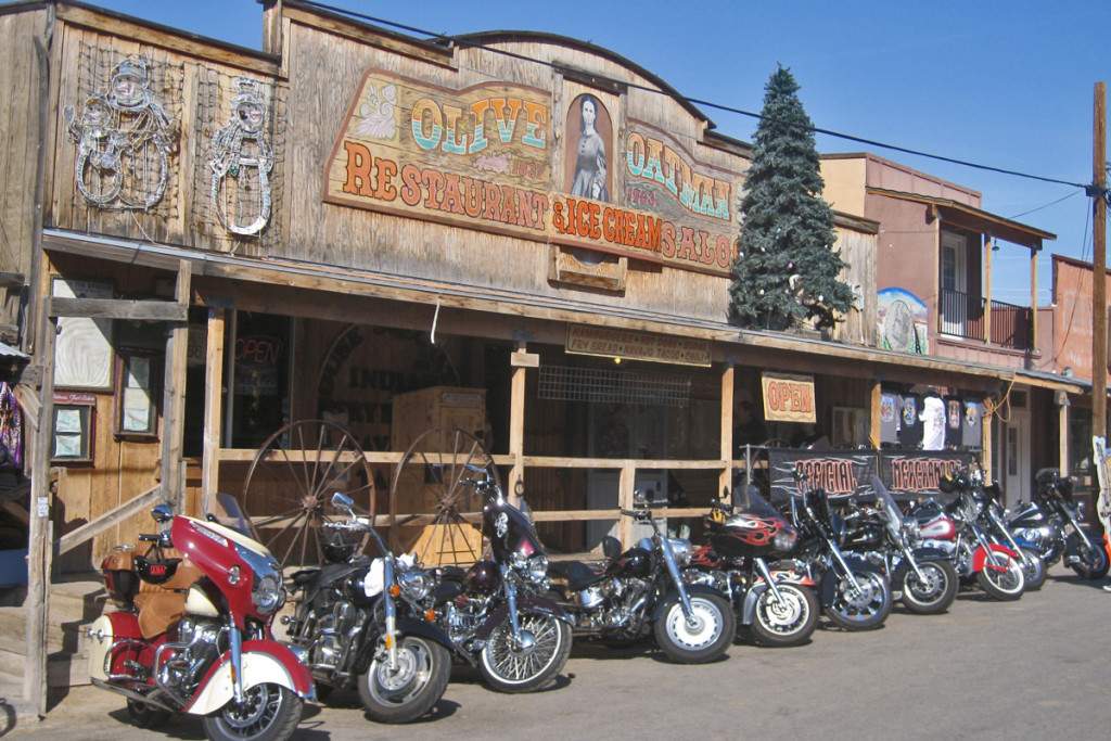
Parked in front of Olive Oatman's - we're eating across the street, much better food.

Parked in front of Olive Oatman’s – we’re eating across the street, much better food.

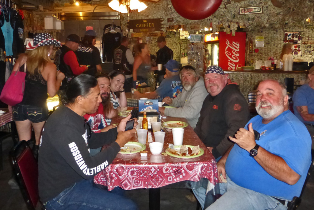
Breakfast at the Dollar Bill Bar.  Just about every surface in here is covered with dollar bills, signed, dated, and stuck wherever you can find a space. Photo carefully cropped....
Breakfast at the Dollar Bill Bar. Just about every surface in here is covered with dollar bills, signed, dated, and stuck wherever you can find a space. Photo carefully cropped….
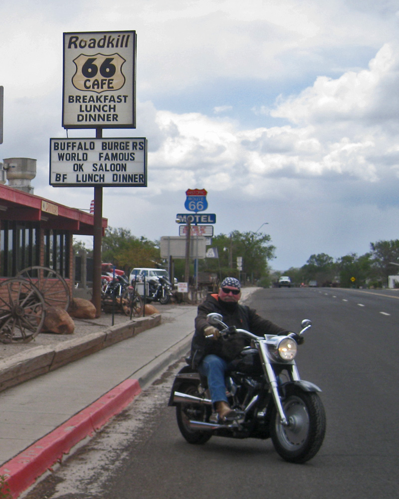
In an effort to finish yesterday’s rain shortened Route 66 ride, four of us headed out for Seligman hoping to beat the building thunderstorms.  We followed Route 66 to Kingman, Hackberry and Peach Springs before getting to my destination – the Road Kill Cafe.

04 RoadkillAfter Kingman, the road climbed to an altitude of 5,250 ft and every mile it got colder and darker.  It was spitting rain when we finally arrived and after the photo was taken we filled up with gasoline and got on I-40 trying to beat the rain back to Laughlin.  We were largely successful this time, & mostly dry by the time we rolled into the hotel parking lot.

That night we went to El Palacio in Bullhead for our traditional last supper.  Cadillac margaritas by the pitcher and fair to good Mexican food makes this an ideal place for our crew to have a little party.  It always ends up a rowdy and raucous affair that justifies the back room that we invariably get shuffled in to.  Rides back to the hotel from the last supper have been a little shaky at times – cough, cough.  Nobody has fallen over though.

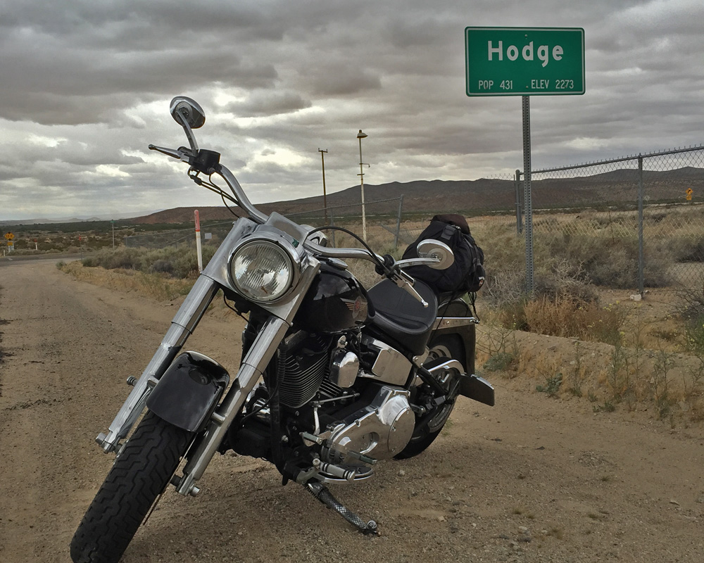
The ride home to Thousand Oaks was a little tough.  I was looking for a different route and I either missed my turn or it was a tiny dirt road – not an option.  So – I wound up on Interstate 15, 40 miles north of Baker.  That wouldn’t have been a problem but the wind was blowing 25-35 mph right in my face, which means that the 80mph you have to ride just to stay alive out there is just like holding on at 115.  That really beats you up after while and after 100 miles, I was glad to get off in Barstow and take Route 66 into Victorville.

04 Hodge

04 Bottle TreeI tried to wait out the rain in Canyon Country but got bored sitting on the side of the road in Acton.  It poured for a mile or two on Sierra Highway but stopped completely right after that.  I was cold and still a little wet by the time I got home but nothing that a warm shower and some dry clothes didn’t cure.  It was a great time with my family and friends and I’m looking forward to the next time we get to ride together – whenever that may be.

04 Crew1

04 Crew2


Forever Young – March 2015

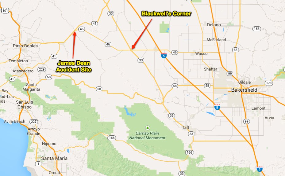
James Dean died in September 1955; he was just 24 years old.  He was on his way from L.A. to Salinas to compete in an auto race.  The car was supposed to be taken up on a trailer but it was felt that the engine needed more break-in time before it got tested on the track so James and his mechanic hopped into the Porsche 550 Spider “Little Bastard” and headed north.  Hoping to escape Mr. Dean’s fate, Robin and I hopped on the motorcycle intent on following (roughly) the route that sent this young actor straight into immortality.

It was a beautiful day here and although there are many things that I do not like about California, the weather isn’t one of them.  It’s still too cold to take some of the less traveled routes over the mountains (motorcycles don’t last long on icy roads) so after taking the back roads through Fillmore, we got on the Interstate for a few miles. Between Bakersfield and Los Angeles the Golden State Freeway climbs sharply over the Tehachapi Mountains; maximum elevation at the Tejon Pass is 4,185 feet.  This steep climb is called “The Grapevine” not for the steep winding road, but because of the canyon it passes through has wild grapes that still grow along the original road.  Before the road was straightened and widened, The Grapevine was the bane truckers due to the high accident rate and challenging driving conditions caused by steep grades on both sides of the mountain.

All of that twisty roads stuff is just music to a motorcycle riders ear though so other than being down right cold at the top, we cruised up and down that 40 mile stretch of road with no problem at all.  We left the interstate just after we got down the grade and headed down hwy 166 to Taft.  This area is mostly citrus orchards and you can tell it’s spring time out here – those trees are fragrant!!  It reminded me of our house in Phoenix, we had 3 citrus trees in the back yard and when those things bloomed – your nose knew it.

JD 9

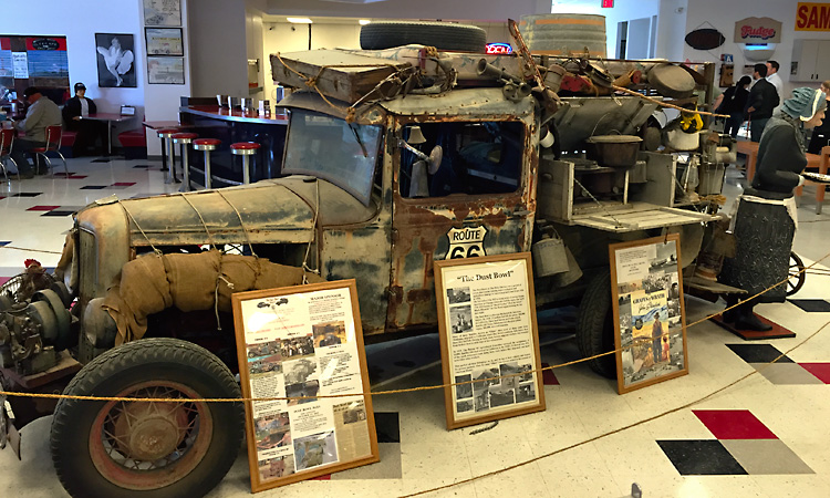
At Taft we headed north on hwy 33 (mostly oil wells on this stretch of road) and stopped at Blackwell’s Corner at the intersection of hwy 33 and hwy 46.  This corner gas station and store is reported to be James Dean’s last stop, fuel and a little something to eat before getting back on the road.  Today, Blackwell’s Corner is a gas station, store and fifties style diner that is a makeshift memorial/museum to Dean and a couple more celebrities that died before their time.  There are several murals painted on the walls; one includes Dean, Elvis, Marilyn Monroe, and Ritchie Valens – out of respect to those people I am not sharing a picture of the mural….cough, cough.  We got there close to lunch time and based on the line to order food, the fare at the Forever Young restaurant is quite good.  On our way out, we successfully resisted the temptations offered at the East of Eden homemade fudge counter, and were headed for our next stop, 26 miles down the Paso Robles Highway – James Dean Memorial Junction.

On exhibit at Blackwell's Corner. A truck from the dust bowl in the 1930's.

On exhibit at Blackwell’s Corner. A truck from the dust bowl in the 1930’s.

Where the Spider came to rest after the accident.

Where the Spider came to rest after the accident.

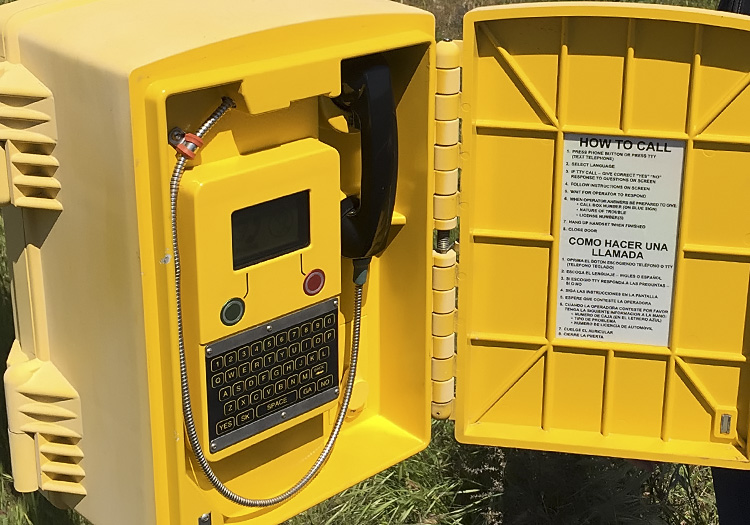
These days, a call box is conveniently located near the intersection, just in case...

These days, a call box is conveniently located near the intersection, just in case…

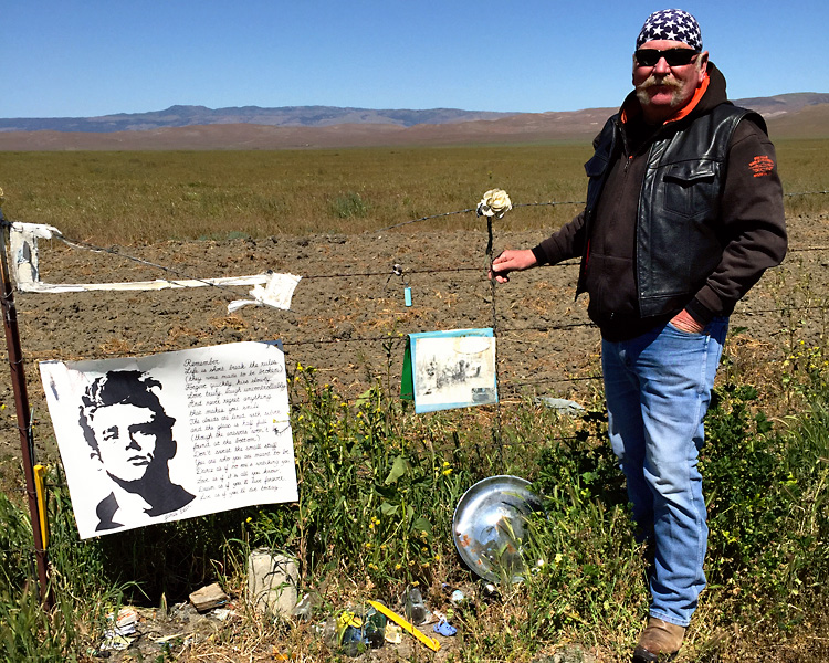
The intersection of Hwy 46 and Hwy 41 is a Y intersection.  The other vehicle involved in the accident, a 1950 Ford Tudor, was driven by Donald Turnupseed.  This accident has been the subject of many independent investigations and research studies over the years.  The generally accepted conclusion is that Turnupseed did not see the oncoming low profile Porsche, and when he turned in front of Dean there was no time for either driver to prevent the impact; no charges were ever filed.

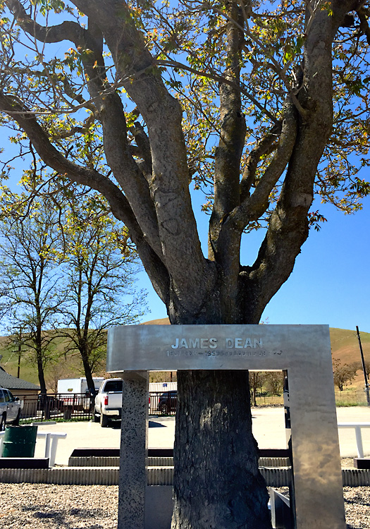
The James Dean Memorial Tree located in Cholame, CA, just west of the intersection.

The James Dean Memorial Tree located in Cholame, CA, just west of the intersection.

Talk about legends living on after death, according to Forbes Magazine, James Dean’s estate still earns $5,000,000 annually.

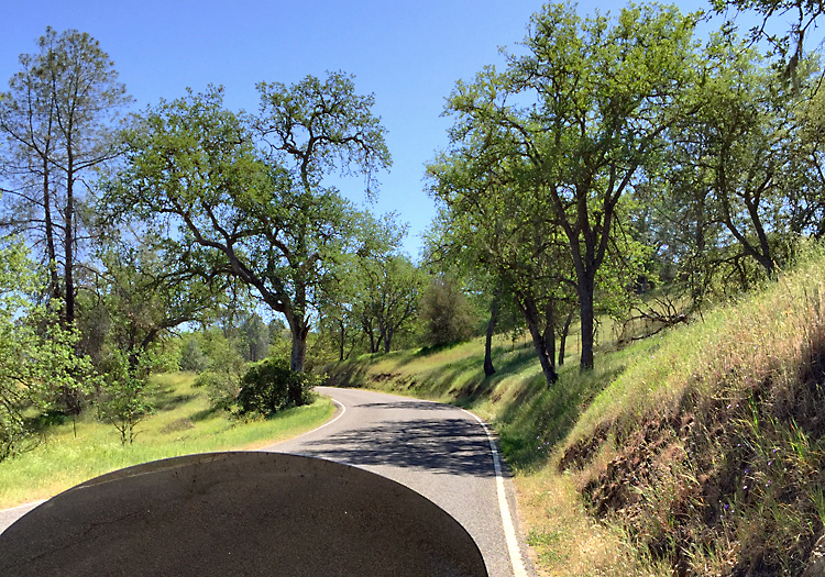
Okay – we all hope James is resting in peace but it’s time for the rest of us to get down the road.  On the way home, on a whim, I turned left down Shell Creek Road and we didn’t see another person for 30 minutes.  I really enjoy these little “wonder where this road goes” excursions; good road or bad – they are always (almost) an enjoyable adventure.  AND – the ones that aren’t an enjoyable adventure will definitely leave you with a story to tell.  No story here though, just a nice quite ride down a tranquil road that for the most part looked like they just laid the asphalt on top of the existing land.

This remote road must have been resurfaced in the last couple years. Note - no center line.

This remote road must have been resurfaced in the last couple years.   Note – no center line.

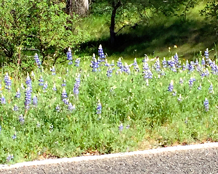
These flowers were all along the road & added a trace of sweet perfume to the air.

These flowers were all along the road & added a trace of sweet perfume to the air.

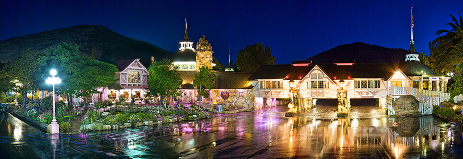
Our next stop was a leg stretcher at the Madona Inn.  For those of you that have no idea, the Madona Inn is a landmark resort hotel that opened in 1958.  The original hotel rooms burned to the ground in 1966. It reopened a year later, and by the end of the decade, all of the rooms had been rebuilt in the unique and ornate style they are known for today.

JD 8

The 110 rooms at the Madona Inn are “themed” for lack of a better term.  Many of them are quite interesting while others are more traditional with a little twist.  Here is a link to the best 25 Madona Inn Rooms.  Robin’s favorite is Pick and Shovel, mine is Cave Man.  We vowed to someday go back and spend a couple nights.  After enjoying a beverage and sharing a delicious piece of cake from their popular bakery, we were back on the bike.

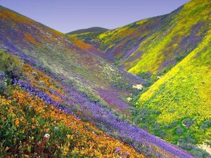
JD 10It had already been a long day so we took a more direct route home from San Louis Obispo.  I was hoping that the flowers would be out on the hills around Los Olivos and I could get a shot like this one, but there weren’t any flowers yet.  I don’t think we’re going to get enough rain this year for the flower show.

We haven’t really had much of a winter this year which would be great news for many of you out there but winter is when Southern California gets the vast majority of it’s rain and snow.  Without that, we end up hurting for water & that’s been the way of things for the past 3 or 4 years in a row.  Sure would be nice if someone could figure out how to send us some of moisture that’s been plaguing the folks east of the Mississippi.  So, that’s your homework – figure out how to economically send us a few Ka-billion gallons of water.

“Dream as if you’ll live forever.  Live as if you’ll die today.” 
James Dean